Start with the operational question
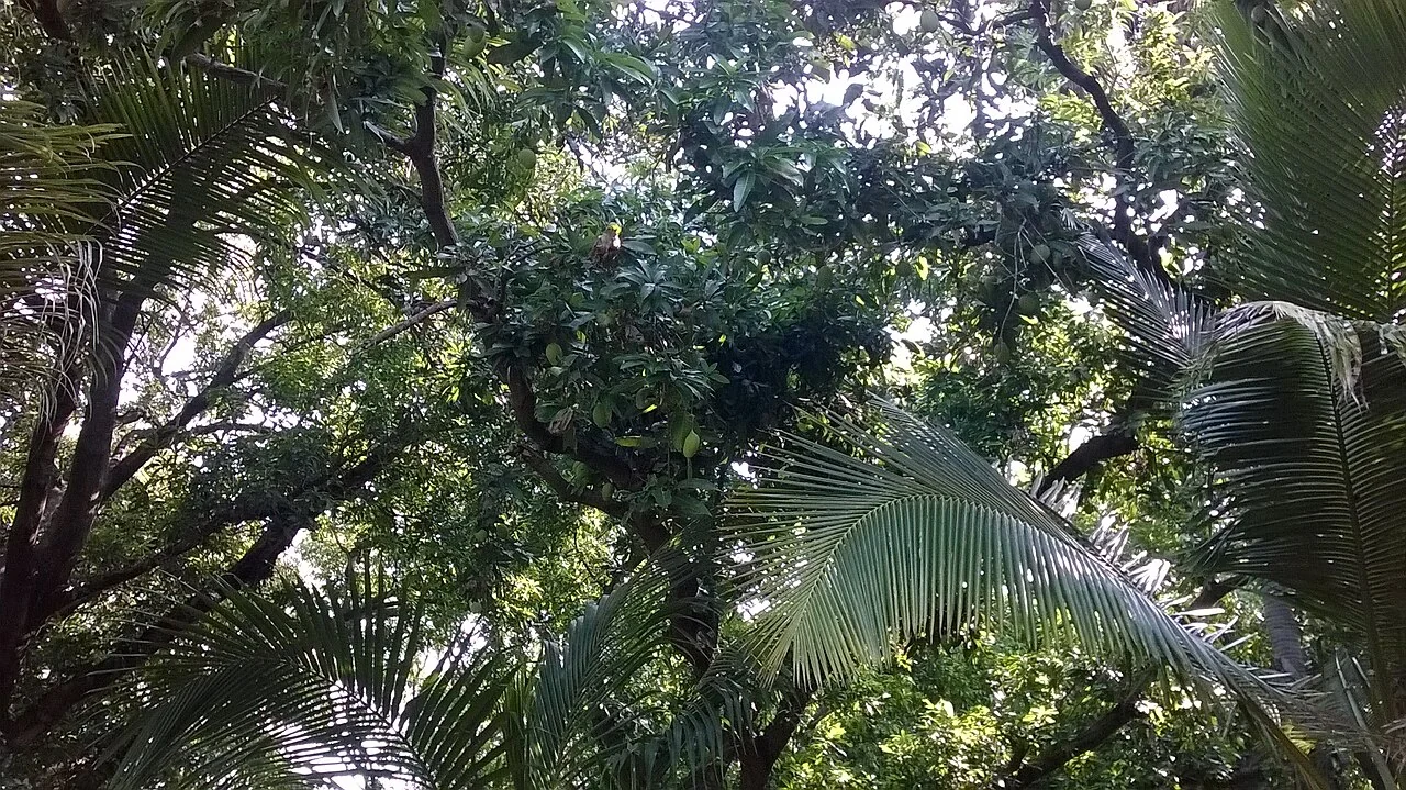
Define whether the inventory counts trees, visible crowns, planting positions, or production units. Connect mapped candidates with variety, planting-year, replacement, and management records when those are available.
Separate observation from explanation
A multi-stem tree may produce several image objects, while overlapping trees may merge. An apparently empty position can contain a small replacement or be intentionally open for access.
Define the object before counting it
Describe exactly what qualifies as one object. A visible crown, a live plant, a productive plant, a planted position, and a gap are different definitions. Set rules for overlapping objects, partial objects at the boundary, ambiguous shadows, and objects below the useful image resolution. Record these rules with the dataset so that another reviewer can reproduce the interpretation.
Evaluate both false detections and missed objects. Inspect a reference sample that includes locations where the method proposed nothing, since reviewing only the proposed objects cannot reveal omissions. Cover contrasting ages, canopy densities, illumination, image quality, and boundaries. Keep the reference interpretation independent from the automated output where possible.
Attach an image date, method version, review status, and field status to each candidate. Retain uncertain cases rather than forcing them into confirmed categories. When reporting totals, explain the counted population and the areas excluded from reliable interpretation. A corrected inventory should preserve the earlier result and the reason for each accepted, rejected, merged, or moved object.
Read article: Cacao agroforestry maps: separate crop, shade, and farm records
Keep a stable spatial register across operational teams
A plantation register should distinguish the estate, management block, planted area and the individual observation or task. Stable identifiers let agronomy, surveying and operations teams refer to the same place even when a display name changes. Keep roads, drains, water features and non-crop areas recognisable, because they influence access and interpretation. Where a boundary is uncertain, record its status and source rather than quietly replacing it with a visually convenient line.
Planting year, crop or cultivar, replanting history and major maintenance events provide the context needed for comparison. A block is not automatically a uniform biological unit. If it contains different ages, soils or management systems, preserve those subdivisions where they are useful to a decision. Explain how statistics were aggregated when producing an estate summary, including whether non-crop areas were excluded. This keeps a management dashboard connected to the field conditions behind its numbers.
When a block is split or merged, retain the previous identifiers and a dated relationship table so historical observations remain interpretable.
Connect imagery to a repeatable inspection route
FAO describes geospatial methods as a way to support agricultural monitoring and crop information. At plantation scale, an image can help identify where additional evidence is needed, but inspection design still matters. Visit representative normal areas as well as conspicuous anomalies. Include operationally difficult places, such as boundaries or shaded areas, in a planned review instead of accepting a route based only on convenient road access. Keep inaccessible locations recorded as missing observations.
Use field forms that separate what the observer saw from what the team later concluded. A location, date, photograph, crop stage or age class, and a clear description are useful starting points. Add the specific measurement required by the question rather than collecting unrelated fields. If a map class is being checked, record agreement and disagreement without editing the original prediction first. That separation allows an honest assessment of both the map and the field evidence.
Review actions with evidence and appropriate uncertainty
Choose an action owner and review date for each verified issue. Some observations need a routine maintenance inspection; others need an agronomist or laboratory. A mapped symptom should not automatically trigger a chemical application, drainage alteration or replanting decision. Those choices depend on local diagnosis, operating procedures and environmental requirements. Record the evidence that supported the decision and keep the original observation available for later review, even when the interpretation changes.
Compare outcomes over an appropriate time window and note other events that could influence them. An image taken under different cloud, shadow or seasonal conditions may not be directly comparable with the previous one. A change in a plantation average can also result from a revised boundary or a new inclusion rule. State those changes in the report. When the evidence is incomplete, a clear request for the next observation is more valuable than a confident explanation that the available data cannot support.
Match image detail, timing, and processing to the task
Describe the smallest feature or change that the image must resolve. Field-level vegetation monitoring and individual-plant inspection require different spatial detail, and neither requirement is established by the displayed zoom level. Check native band resolution, actual acquisition date, and the amount of usable coverage. A resampled image can have more pixels without containing more independent detail.
Review processing choices before comparing dates or sources. Surface reflectance, raw radiance, visual photographs, and styled map tiles are different products. Note atmospheric treatment, radiometric calibration where relevant, image alignment, and quality masks. Where sources differ, compare at a scale that both can support and explain whether the comparison concerns spatial pattern or numerical agreement.
Keep a field reference appropriate to the question. A photograph may confirm that a stand gap exists, while a calibrated instrument or laboratory method is needed for a quantitative property. Schedule field observations close enough to the image to represent the same condition, and document the delay. If the crop changed between acquisitions, retain that event as part of the interpretation instead of treating the sources as simultaneous.
Read article: Rubber plantation leaf-fall cycles in satellite time series
Design reference observations that represent the field
State the population that the sample should represent and the question it must answer. Select locations across relevant crop stages, terrain, management, and image conditions. Include ordinary areas and difficult cases, not only conspicuous anomalies or convenient roadside stops. Record selection rules so that later users understand where the reference is representative.
Define the observation unit, area or depth, timing, instrument or laboratory method, and required replicates using the appropriate discipline's protocol. A point observation and a satellite pixel have different spatial support. Record enough context to evaluate that mismatch. Keep inaccessible sites in the sampling log and explain any replacement rather than silently dropping them.
Separate reference collection from the result being evaluated when feasible. Review observer consistency and missing data before calculating agreement or error. Retain raw observations, corrections, and exclusions with their reasons. More samples can improve precision, but a large biased sample still fails to represent excluded conditions. Use the results within the population and period that the sampling design supports.
Define the deliverable and approval
Deliver a reviewed orchard register that separates detection, field confirmation, missing positions, replacement events, and the evidence supporting any block-level summary.
A practical review before sharing the result
Check the observation against its source and make sure the field identifier is correct. Review dates, units, missing values, quality exclusions, and geometry versions. Ask a colleague to reproduce one representative result from the recorded inputs. This small independent check often exposes a misunderstood field code or a processing assumption before it affects an entire report.
Write down the alternative explanations for the mapped pattern and identify what evidence would distinguish them. Keep a measured observation separate from the interpretation and from any treatment or management instruction. A decision should name its responsible reviewer and account for local operating procedures. If the evidence is insufficient, the appropriate output is a targeted inspection rather than a confident claim.
Keep the original result, any reviewed version, and a short change log. State which locations and periods the output can reasonably describe. When sharing a map, provide a clear legend, source dates, and an accessible explanation of uncertainty. The recipient should know whether a feature is a confirmed observation, a candidate awaiting inspection, or a model-based estimate.
Read article: Surveying agricultural water and irrigation assets
Turn the investigation into a repeatable field cycle
Prepare the visit with a map that can be used at the intended location and a concise list of questions. Confirm access, permissions, equipment, and the availability of a person familiar with the field. Choose representative stops as well as unusual areas. Record where the planned route could not be followed, because missing observations can change how the result should be interpreted.
After the visit, review the observations while the team can still clarify them. Connect photographs, measurements, and comments to the same field and visit identifiers. Assign a follow-up status and preserve unresolved cases. A correction should explain what changed and why; it should not erase the original evidence or make an earlier interpretation appear to have been certain.
At the next suitable observation date, compare conditions using the same definitions and review any management or weather events that occurred between visits. Record the action actually completed and its operational outcome. This creates an evidence trail from an initial pattern to field confirmation and later review, making the mapping process easier to improve over successive seasons.
Connect this work with AgroSensing
Use a connected spatial workflow to organise imagery, commodity records, and geolocated field observations. Discuss the appropriate data, validation, and operating scope with the team.
Sources and further reading
The linked primary references explain the underlying agronomic and geospatial concepts. The field workflows in this guide are editorial recommendations to adapt with the responsible local specialist.