
Satellite
Explore geospatial data and remote sensing across your fields. Compare satellite observations over time to inspect vegetation, land cover and relative moisture.
Connect imagery, field surveys and spatial analysis in one workspace built around your crop.
Select a crown, line or raster cell for details.
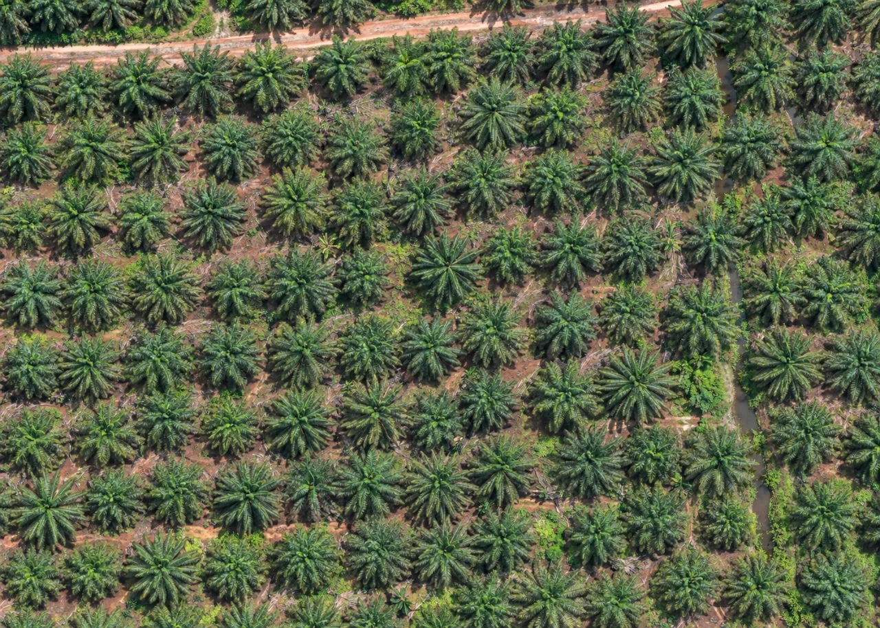
Centres follow visible crown junctions throughout the image. Yellowish crowns are visual sample classes, not a disease diagnosis.
Explore sample imagery and analysis for six commodities. Image scenarios and spectral data are simulated, not measurements of an actual farm.
Work with your own imagery, find satellite scenes, collect geolocated observations and keep your maps together. AgroSensing connects the people looking at the land with the people working on it.
Choose your commodity when activating a demo or annual plan. Your workspace presents the tools for that crop, alongside shared mapping and collaboration.
 Oil Palm
Map oil-palm canopy centres from high-resolution imagery, inspect planting distances and identify geometric gaps for field review.
Detect oil-palm canopy centres as points from a selected raster image.
Connect mapped palm points and classify distances using the surrounding planting pattern.
Explore candidate gaps using local spacing, plantation boundaries and exclusion areas.
Detection results and planting candidates require field verification. Image quality and visible canopy structure affect the result.
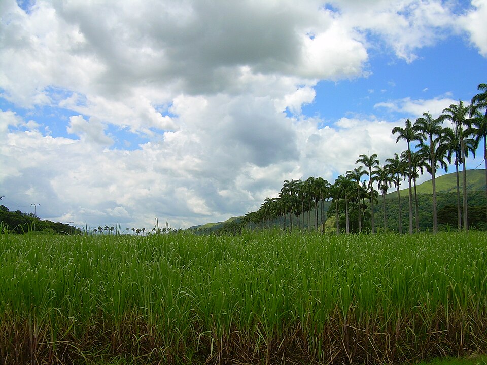
Open the demoBring planting and ratoon records into the same conversation as satellite imagery. Compare cane blocks over time and guide the next field inspection.
Compare NDVI across cane blocks to locate uneven canopy greenness and prioritise field checks.
Review monthly greenness changes alongside planting and ratoon dates; confirm crop stages with field records.
Review vegetation-vigour patterns when assessing harvest blocks. The indicator does not estimate cane tonnage or sugar content.
Use red-edge chlorophyll differences to guide nutrient checks in cane. Soil and leaf tests are needed for NPK quantities or fertiliser rates.
Compare relative canopy-moisture patterns between cane blocks with irrigation, rainfall and field observations.
Current crop outputs are uncalibrated imagery indicators. They do not establish growth stages, yield quantities, NPK concentrations or fertiliser prescriptions. Calibrated commodity models will follow field data and validation.
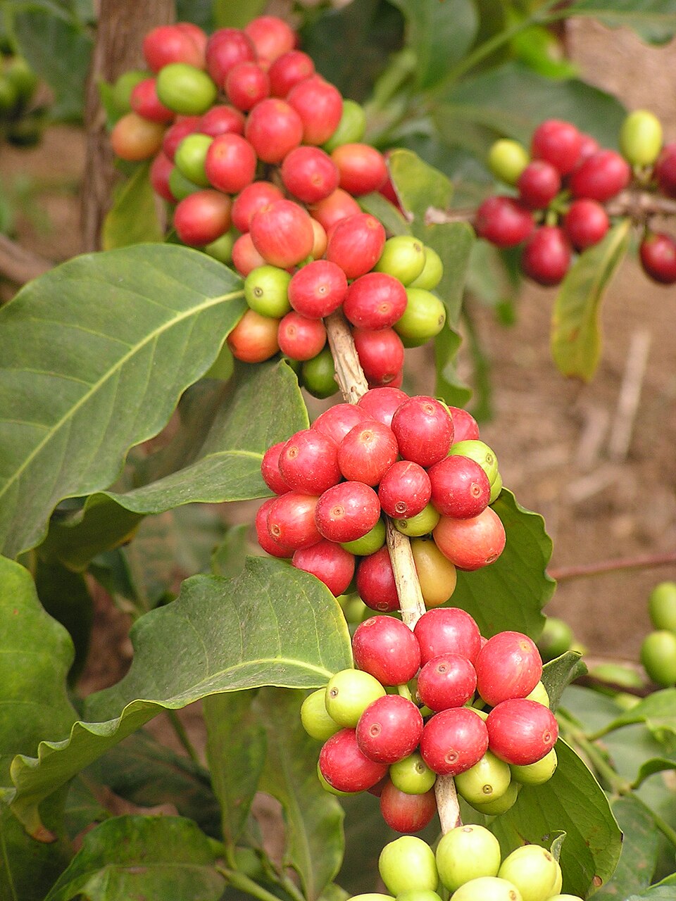
Open the demoExplore perennial coffee plots with imagery and field evidence together. Interpret differences between blocks alongside shade cover, terrain and management records.
Inspect NDVI differences between coffee plots while accounting for shade trees and mixed canopy pixels.
Compare monthly canopy-greenness trends with coffee field records. These trends do not confirm flowering or cherry maturity.
Use vegetation-vigour patterns to focus field checks of harvest plots; coffee yield and cherry ripeness still require direct observations.
Explore relative red-edge chlorophyll variation in coffee canopy. Verify nutrient needs with leaf and soil sampling.
Compare canopy-moisture patterns with shade, seasonal rainfall and irrigation records before planning field visits.
Current crop outputs are uncalibrated imagery indicators. They do not establish growth stages, yield quantities, NPK concentrations or fertiliser prescriptions. Calibrated commodity models will follow field data and validation.
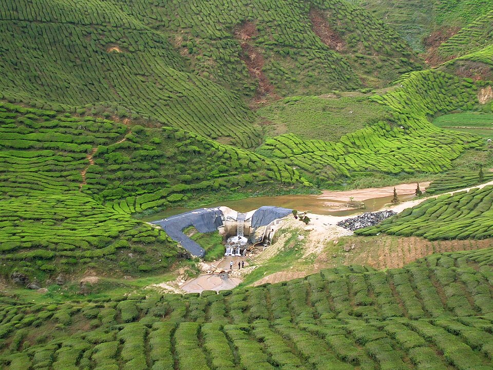
Open the demoRead the pattern across managed tea sections rather than a single image in isolation. Compare imagery dates with pruning and plucking records to plan closer inspection.
Inspect greenness uniformity between tea sections and interpret differences alongside pruning, shade and field observations.
Track monthly NDVI changes before and after recorded pruning dates. Confirm shoot development in the field.
Review vegetation-vigour differences when planning checks around plucking rounds. The indicator is not a calibrated estimate of tea-leaf production.
Use relative canopy-chlorophyll patterns to prioritise tea nutrition checks, supported by leaf and soil tests.
Inspect relative canopy moisture across tea sections and compare it with slope, rainfall and irrigation conditions.
Current crop outputs are uncalibrated imagery indicators. They do not establish growth stages, yield quantities, NPK concentrations or fertiliser prescriptions. Calibrated commodity models will follow field data and validation.
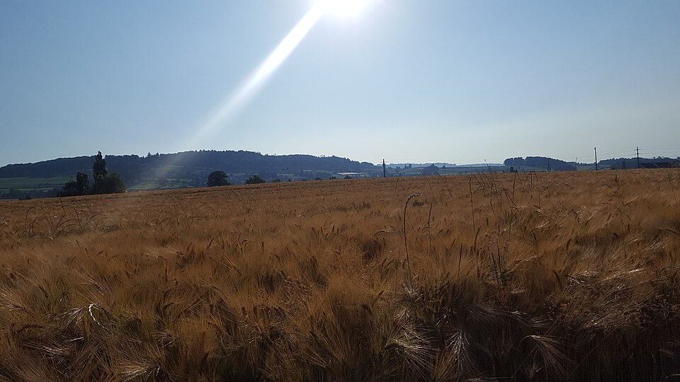
Open the demoCompare fields and imagery dates within the same wheat season. Combine spatial indicators with sowing dates and crop observations to identify areas needing attention.
Compare NDVI within and between wheat fields to inspect patchy greenness and target field sampling.
Read monthly greenness trajectories alongside sowing dates; verify actual wheat growth stages with crop observations.
Use vegetation-vigour patterns to select areas for pre-harvest crop checks. Grain yield requires a calibrated model and field measurements.
Inspect red-edge chlorophyll variation before targeted wheat leaf and soil tests; it does not prescribe fertiliser quantities.
Explore canopy-moisture differences between wheat fields and compare them with rainfall, irrigation and soil-moisture observations.
Current crop outputs are uncalibrated imagery indicators. They do not establish growth stages, yield quantities, NPK concentrations or fertiliser prescriptions. Calibrated commodity models will follow field data and validation.
Open the demo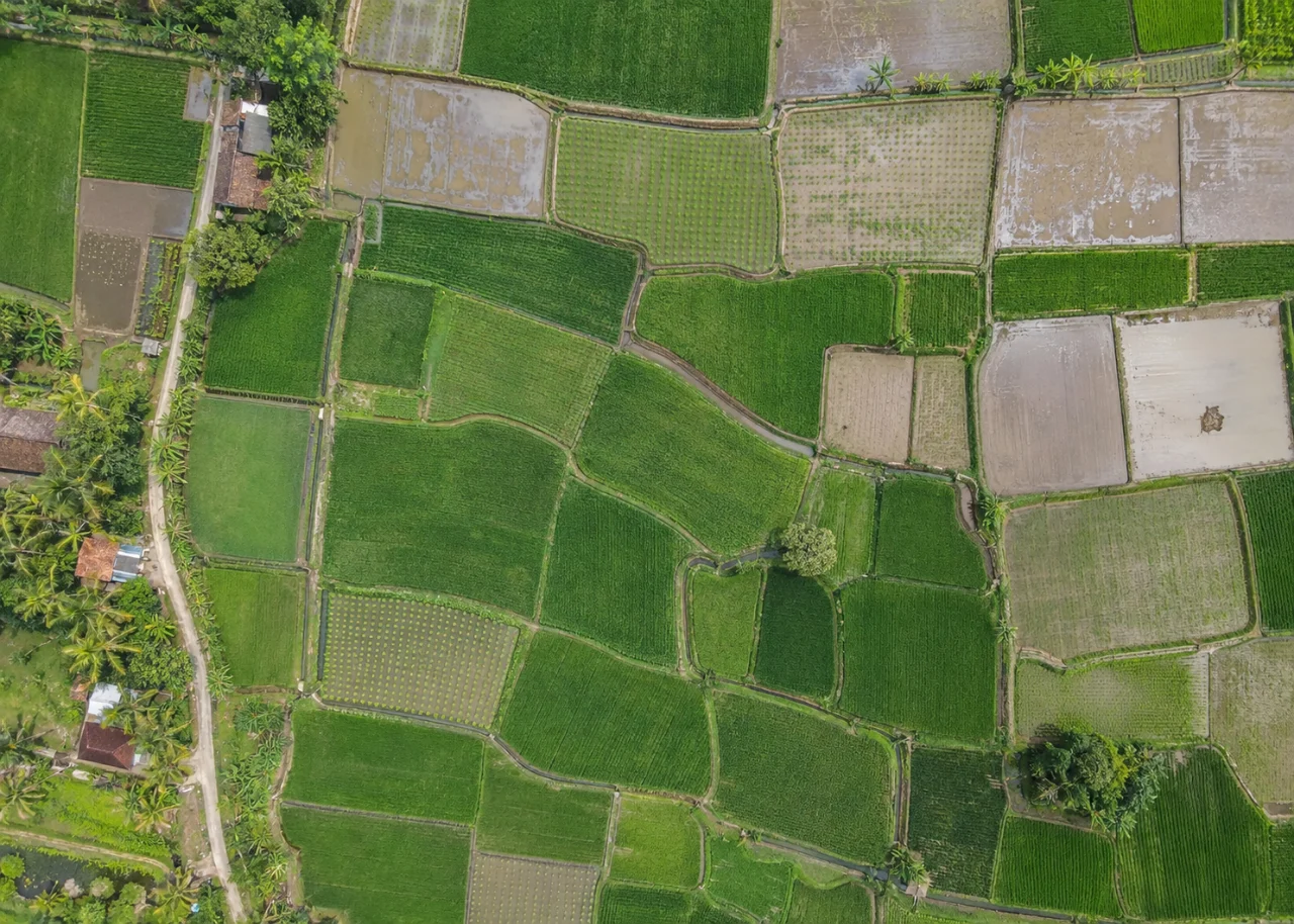 Paddy
Keep rice-field observations, transplanting dates and imagery in one workspace. Interpret seasonal patterns with attention to young canopy, standing water and drainage.
Inspect NDVI differences across rice fields while considering sparse young plants and the water background.
Compare monthly greenness changes with transplanting dates and field records; confirm rice growth stages on site.
Review vegetation-vigour patterns to prioritise field maturity checks. The indicator does not provide a calibrated rice-grain yield.
Compare relative canopy-chlorophyll patterns and follow up with rice leaf or soil tests before nutrient decisions.
Inspect canopy-moisture changes alongside flooding and drainage records. NDMI is not a measurement of field water depth.
Current crop outputs are uncalibrated imagery indicators. They do not establish growth stages, yield quantities, NPK concentrations or fertiliser prescriptions. Calibrated commodity models will follow field data and validation.
Open the demoUpload your imagery and vector layers, or use Satellite Finder to explore available scenes for your area.
Open your commodity tools, select inputs and review the output name and parameters before running.
Share survey forms to collect coordinates, observations, photographs and recordings from the field.
Organise layers, inspect results together and prepare map layouts or shared maps for the next conversation.
A shared GIS foundation connects specialist crop tools with daily mapping work.
Drawing tools, raster and vector workflows, styling, attribute tables and the existing GIS and RS toolboxes.
Explore imagery for an area, review footprints and previews, and follow available download workflows.
Build field forms with location, text, numbers, dates, photographs and recordings. Link collected responses to map layers.
Invite members, manage data and member visibility, collaborate in project chat and organise layers into groups.
Prepare print layouts and shared maps to communicate the spatial context behind a decision.
Use the connected account and SSO experience to access your active TechnoGIS products.
Connect satellite and drone imagery with field evidence, geospatial analysis and Geo AI in one agricultural workspace.
Explore geospatial data and remote sensing across your fields. Compare satellite observations over time to inspect vegetation, land cover and relative moisture.
Use high-resolution RGB and multispectral imagery to map fine detail, inspect crop canopies and examine variation within a field.
Manually record IoT sensor readings in geolocated surveys. Compare field measurements with imagery to validate mapped patterns and add local context.
Use AI and machine learning for object detection, predictive analysis and automated geospatial workflows. Predictions depend on suitable data, calibrated models and field validation.
Choose Demo, Starter, Standard, Advanced or Enterprise. Paid plans are annual and include processing points. View current prices and allowances in the application.
Explore a commodity workspace before choosing a paid plan.
Start a demoBring your mapping and crop-imagery work into one place.
View plan & pointsBuild a shared spatial workflow for your team.
View plan & pointsSupport a broader programme of agricultural mapping.
View plan & pointsDiscuss the needs of a larger agricultural organisation.
View plan & pointsCurrent prices, included points, limits and eligibility are shown in the application before activation or payment.
Oil palm, sugarcane, coffee, tea, wheat and paddy. Choose one module during demo or paid-plan activation. An active AgroSensing account can update its commodity setting.
Oil-palm canopy detection uses a selected high-resolution raster. Crop indicators use available Sentinel-2 imagery for an area and month. Satellite availability, clouds and image resolution affect what can be analysed.
Not at this stage. These tools currently provide vegetation-vigour and chlorophyll proxies. Reliable crop stages, yield or nutrient quantities need commodity-specific calibration and field validation.
Yes. Survey Mobile links field responses and coordinates with your maps. Form settings control login and response visibility. Recording, location and offline behaviour depend on browser permissions and device support.
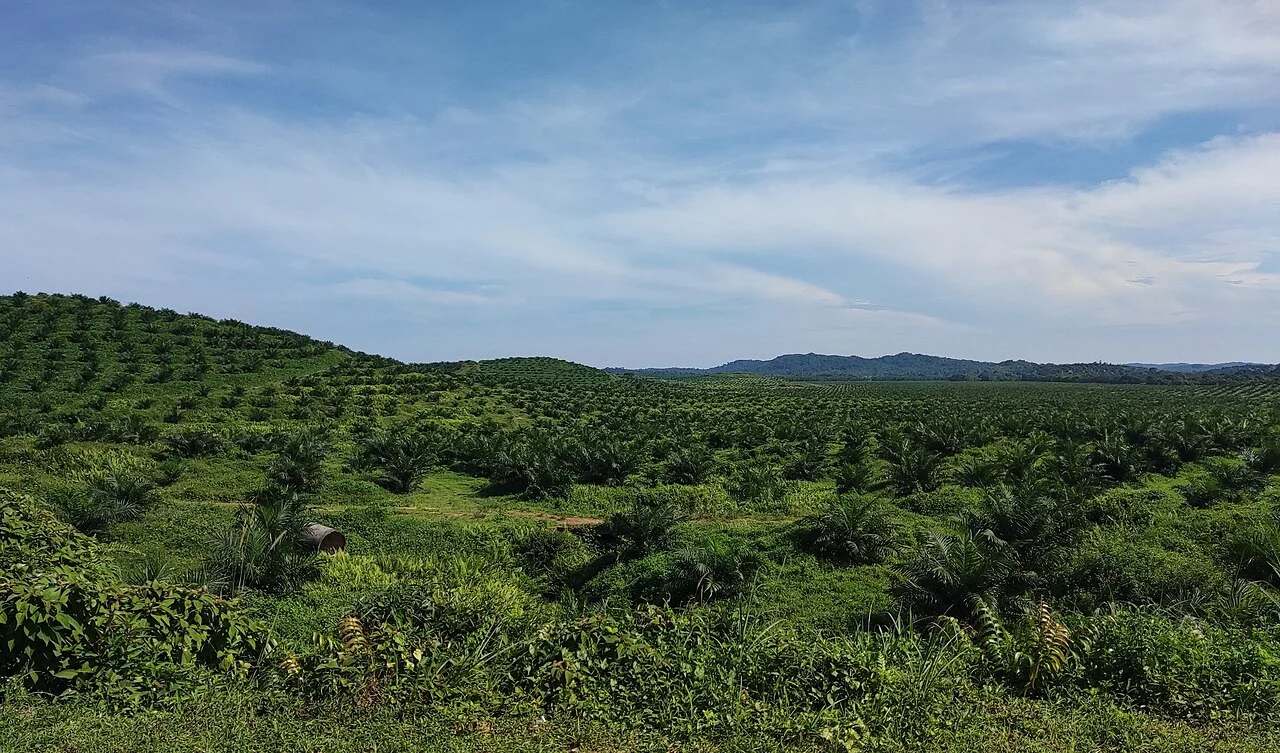
Inspect canopy-centre points against the original high-resolution image and a field sample. Record overlapping crowns, young palms, shadows, and non-palm trees as separate sources of uncertainty.
Read article ↗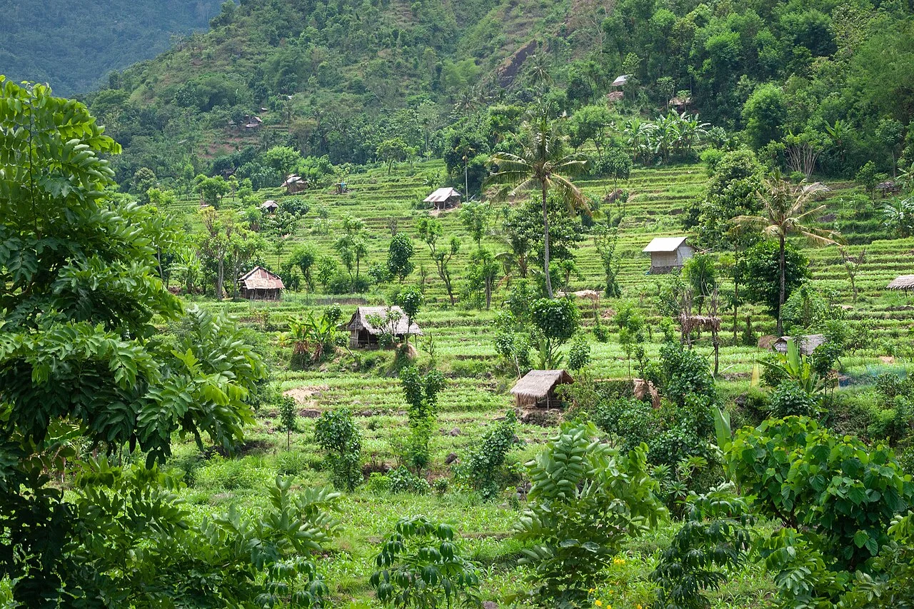
Explain which spectral bands and formula produced the indicator, then inspect how soil, canopy structure, cloud, and management affect the result. Link interpretation to the crop and acquisition date.
Read article ↗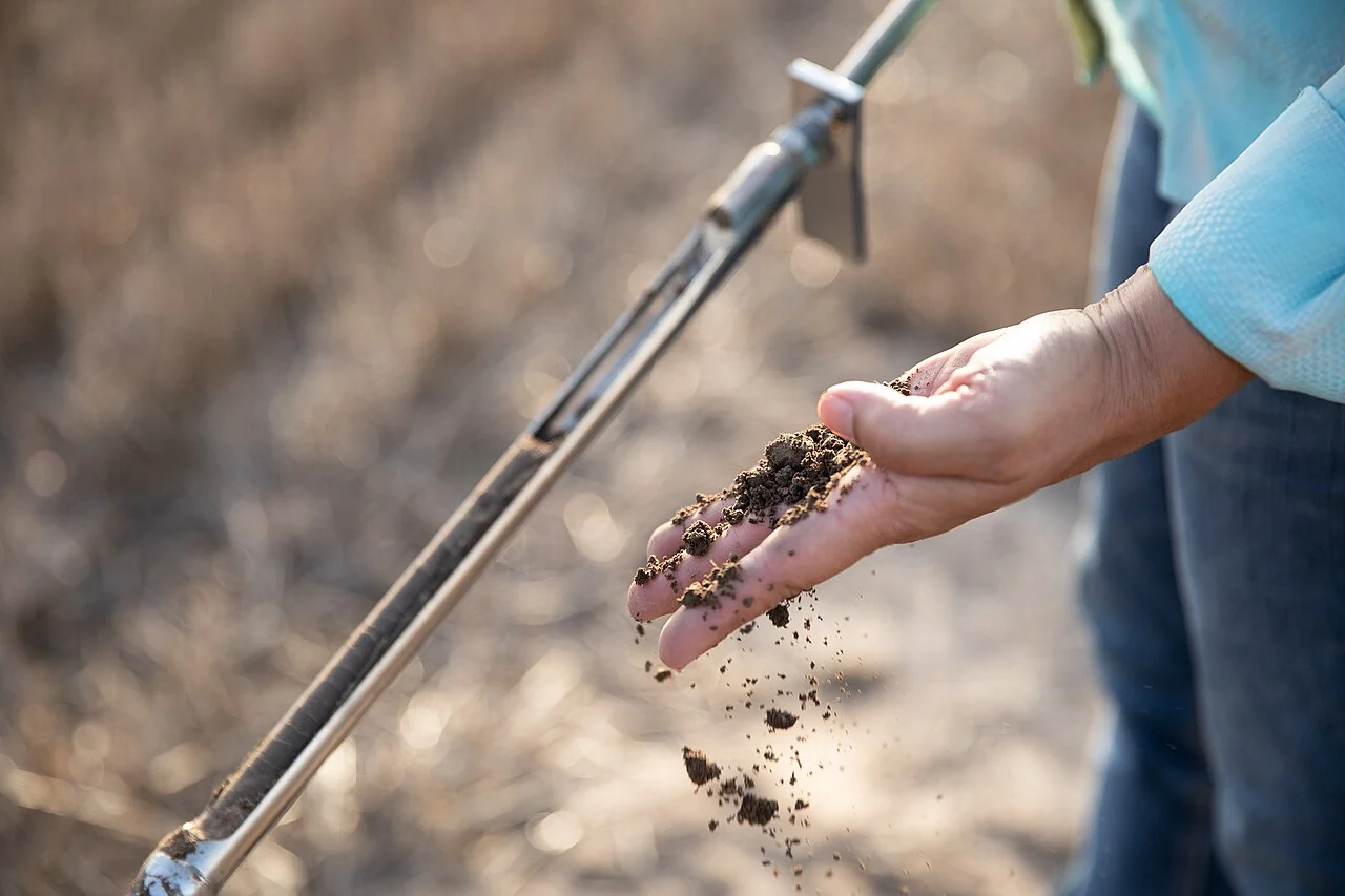
Design each survey question to support an identifiable decision, and connect observations with photographs, dates, coordinates, and the appropriate field code. Test the entire collection-to-review cycle.
Read article ↗Tell us your commodity, approximate area and goals. Discuss imagery, field surveys and the AgroSensing plan that fits your team with TechnoGIS.
STEP Park Building, Stuttgart Region, Germany
Jln Pamularsih No 152B, Yogyakarta, Indonesia
Choose a commodity and explore the AgroSensing workspace.