
Agriculture field notes
Practical guides to smart agriculture, crop intelligence, agricultural GIS, satellite monitoring, and field verification.
122 articles · Page 1 of 11
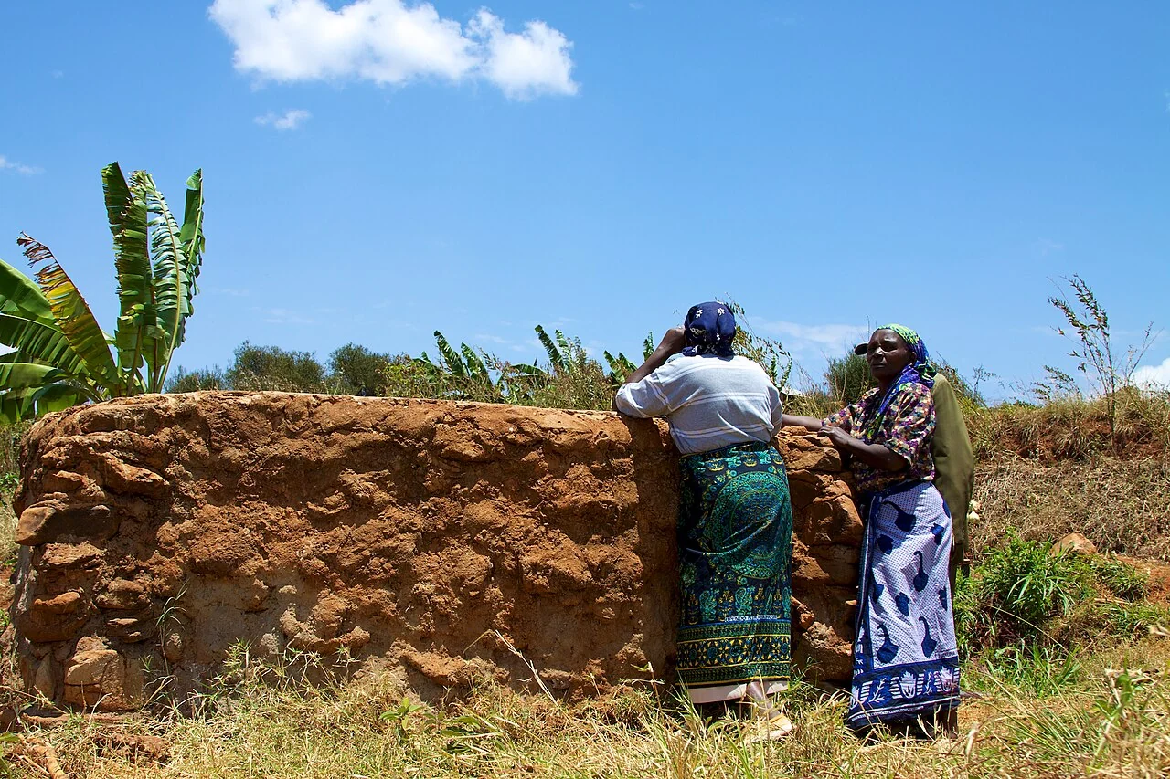
Smart agriculture: building a practical first-season plan
Choose one recurring decision, such as which blocks to inspect after rain, and describe who makes it, when it occurs, and what evidence is currently missing.
Read article ↗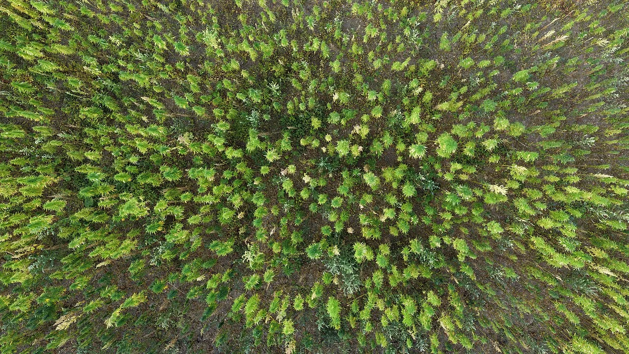
Precision farming for mixed-size agricultural holdings
Separate fields by crop, management history, and the scale at which equipment or people can actually treat them. Include small plots instead of judging every holding against a large-estate workflow.
Read article ↗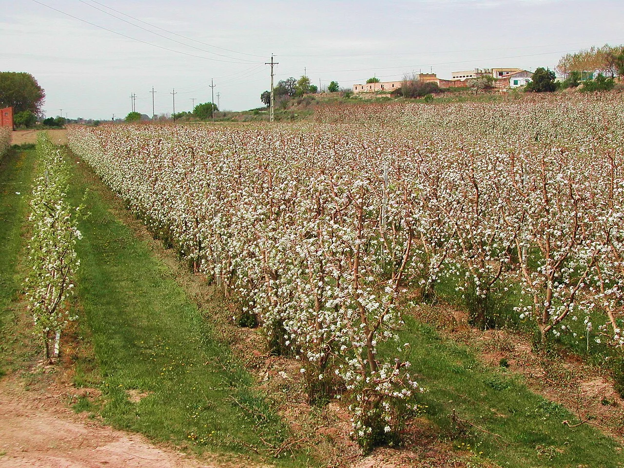
Agricultural digital twins: start with a reliable field register
Establish which fields exist, what their identifiers mean, and who can approve a change. Connect each mapped block to crop records before adding complicated simulation or automation.
Read article ↗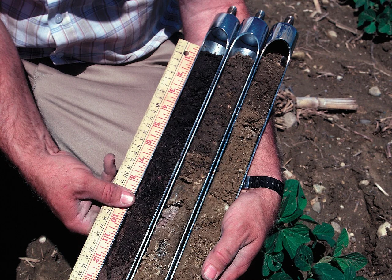
Agricultural data quality: a checklist before analysis
Inspect the incoming dataset as a measurement with a date, unit, location, method, and responsible person. Test a small sample against field records before importing the entire season.
Read article ↗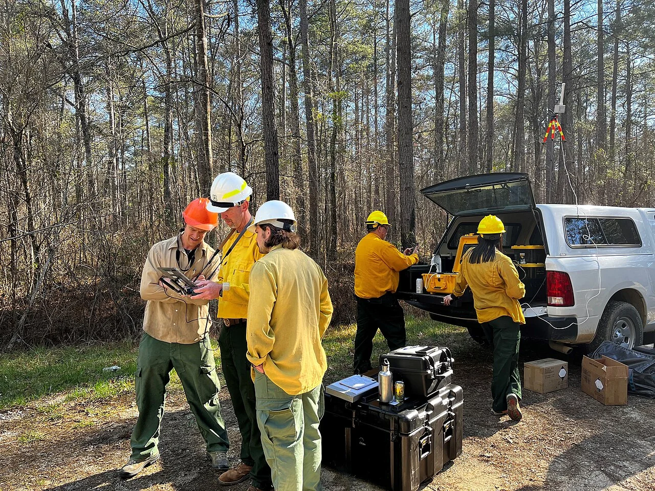
Choosing between satellite imagery, drones, and field surveys
Begin with the smallest object and fastest change that the management question needs to distinguish. Compare coverage, detail, revisit opportunities, and field access rather than choosing one technology for eve
Read article ↗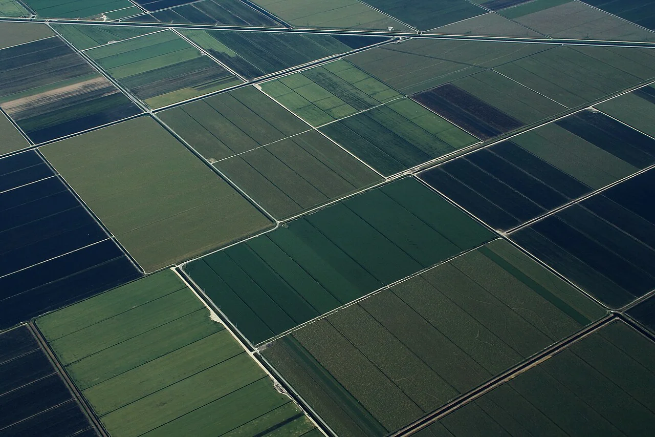
Smart agriculture dashboards that lead to field action
Ask a supervisor to describe the action behind every chart. A useful display should distinguish a newly observed change, a pending inspection, a confirmed issue, and a completed response.
Read article ↗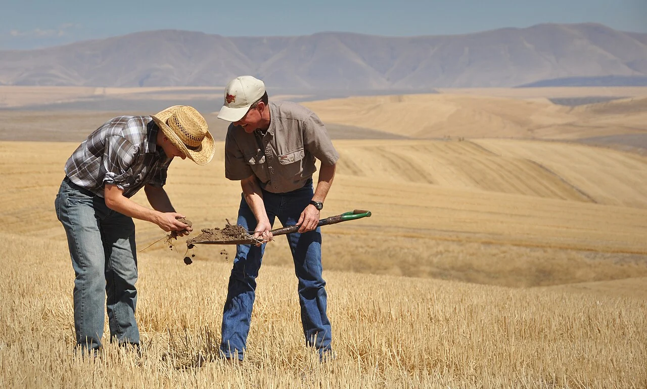
Planning an agricultural remote-sensing pilot
Select a representative mix of easy and difficult fields. Include a known management event so that the pilot tests whether the proposed observation process notices a meaningful change.
Read article ↗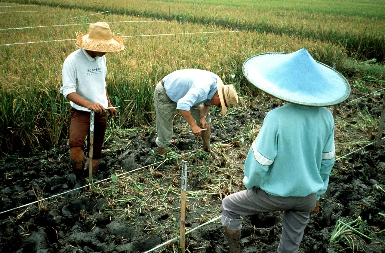
Farm connectivity and offline field-data planning
Walk the actual collection route with the intended device and record where connection, location accuracy, and battery capacity become limiting. Test recovery after interruption instead of assuming that a form w
Read article ↗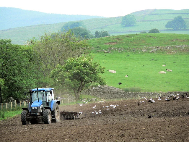
Calculating the operational value of farm mapping
Measure staff time spent finding fields, revisiting incomplete surveys, and reconciling contradictory reports. Compare those tasks before and after a limited mapping improvement.
Read article ↗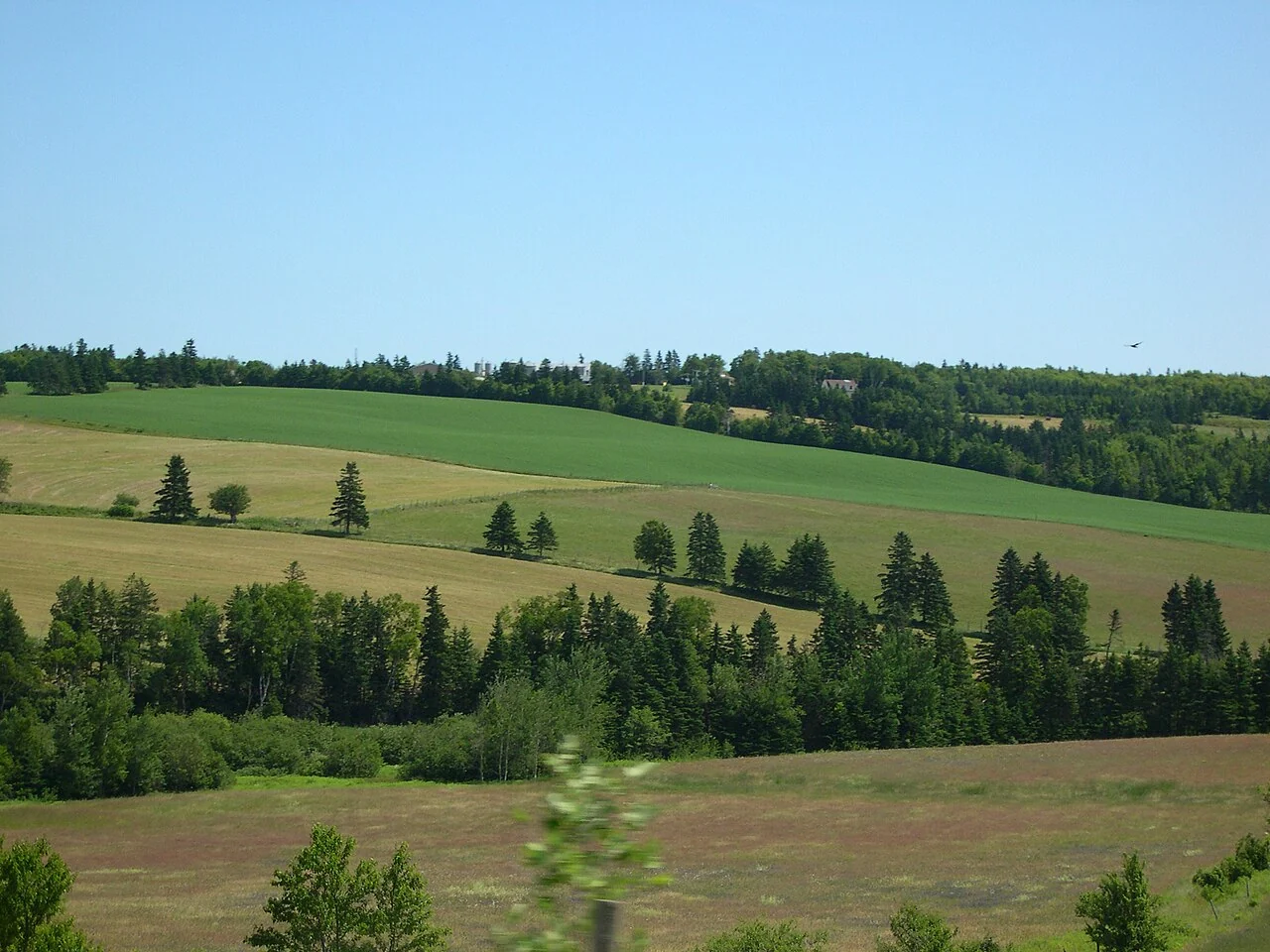
Commodity intelligence: connecting maps with agricultural decisions
Keep market information, field observations, and production estimates as separate evidence streams. Connect them through a crop calendar and a clearly named decision rather than presenting them as a single pred
Read article ↗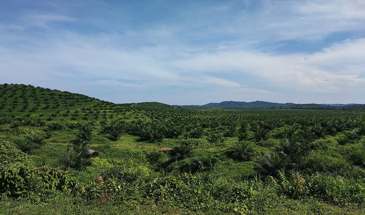
A point is the start of an oil-palm plantation map
Inspect canopy-centre points against the original high-resolution image and a field sample. Record overlapping crowns, young palms, shadows, and non-palm trees as separate sources of uncertainty.
Read article ↗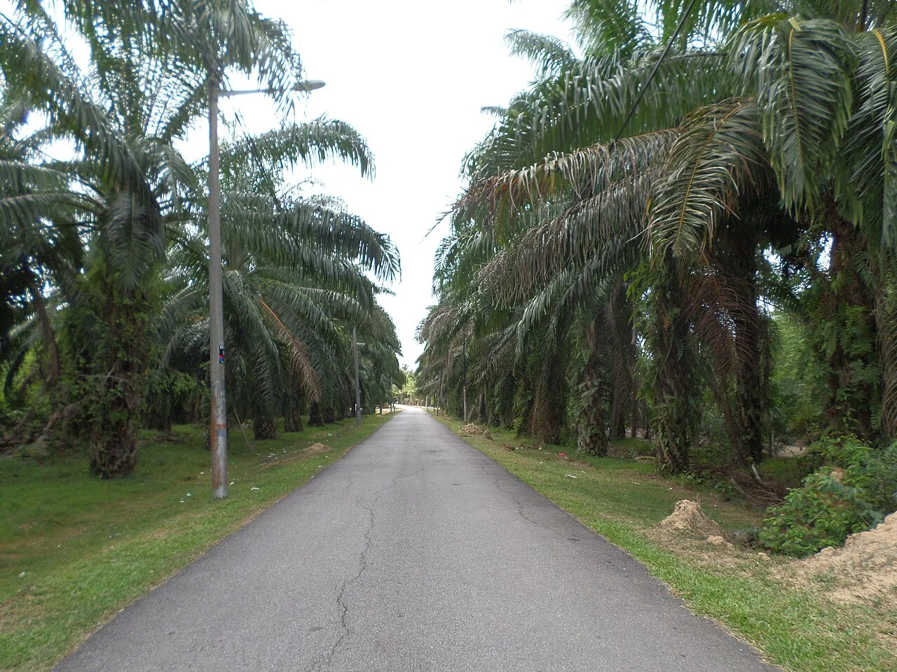
Oil-palm planting-distance analysis with GIS
Compare neighbour distances within the same planting cohort and block. Separate edge palms, road verges, drainage corridors, and irregular field geometry before interpreting apparently unusual spacing.
Read article ↗See your land from a more connected perspective.
Choose a commodity and explore the AgroSensing workspace.