Start with the operational question
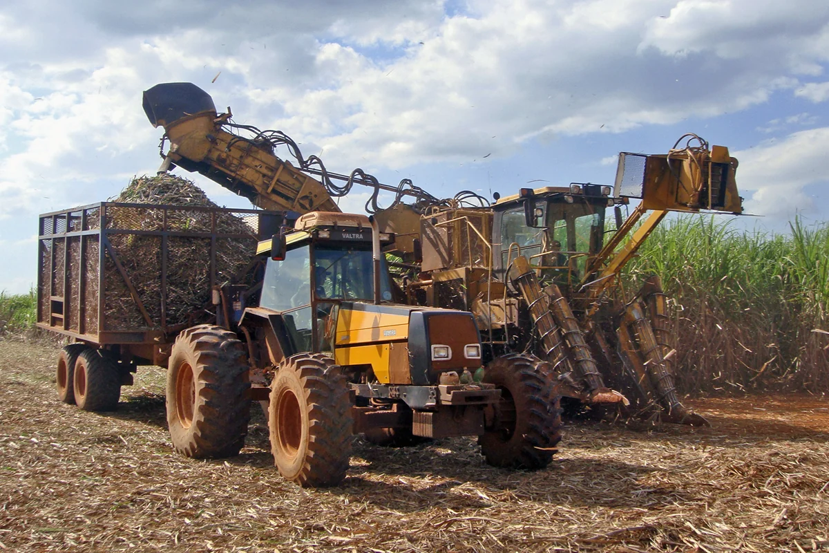
Combine the maturity assessments made by the agronomy team with field access, cutting capacity, haulage constraints, and the mill schedule. Keep a record of why each field enters the queue.
Separate observation from explanation
Optical greenness is not a direct measurement of sugar concentration. A logistics-friendly sequence can still be agronomically unsuitable if crop maturity is not verified.
Validate routes and assets with the operating team
Define the vehicles, people, equipment, loads, and operating conditions that the route must accommodate. Map entrances, crossings, collection points, restrictions, and known seasonal changes. Connect route segments to inspection records and include the date of the latest confirmation. A line on a basemap is only a candidate connection until its operational meaning is checked.
Use the knowledge of drivers, harvest teams, maintenance staff, and local land managers. Check bridge condition and capacity through the appropriate inspection process, and treat slope, surface, width, turning space, and access permission as separate attributes. The shortest geometric route can be unsuitable even when it is visibly continuous in an image.
Deliver alternatives for plausible disruptions and a procedure for updating the register after a closure or repair. Keep verified restrictions distinct from unconfirmed reports. Review whether the route worked for the intended operation and record problems encountered. A maintenance action should have an owner and a completion check rather than disappearing from the issue map when a work order is created.
Read article: Sugarcane ratoon monitoring with satellite time series
Build the cane calendar before comparing fields
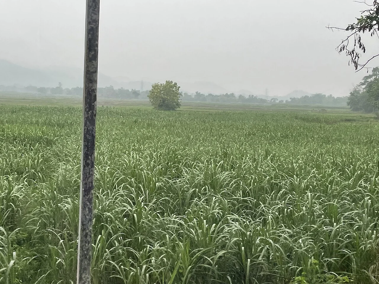
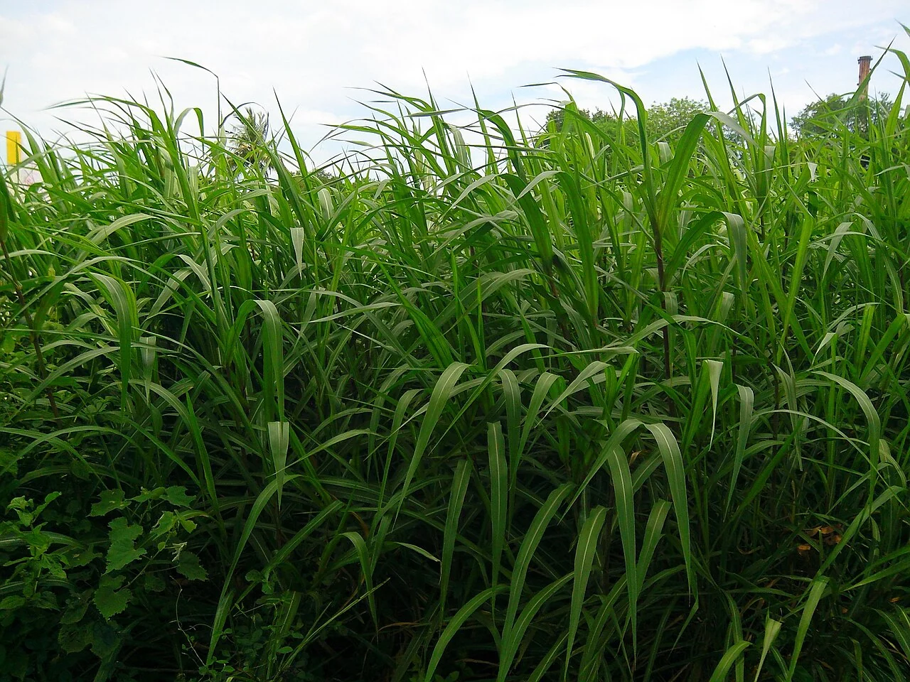
A sugarcane monitoring programme needs more than a commodity label. Distinguish plant cane from ratoon cane, record the planting or last cutting date, and keep the ratoon sequence where it is known. Variety and the intended harvest window also belong in the field register. Two fields observed on the same date may be at very different development stages. Comparing their canopy values without that history can turn normal age differences into a misleading list of weak fields.
Follow establishment, tillering, canopy development and the approach to harvest as separate operational periods. Image dates should be linked to events such as cutting, irrigation, gap filling and major weather disturbances. Keep the actual observation date when a visit happens later than planned. For a ratoon field, regrowth starts from the preceding crop's stubble; therefore the cutting record is a more useful starting point than the original planting date alone.
Turn uneven regrowth into a field question
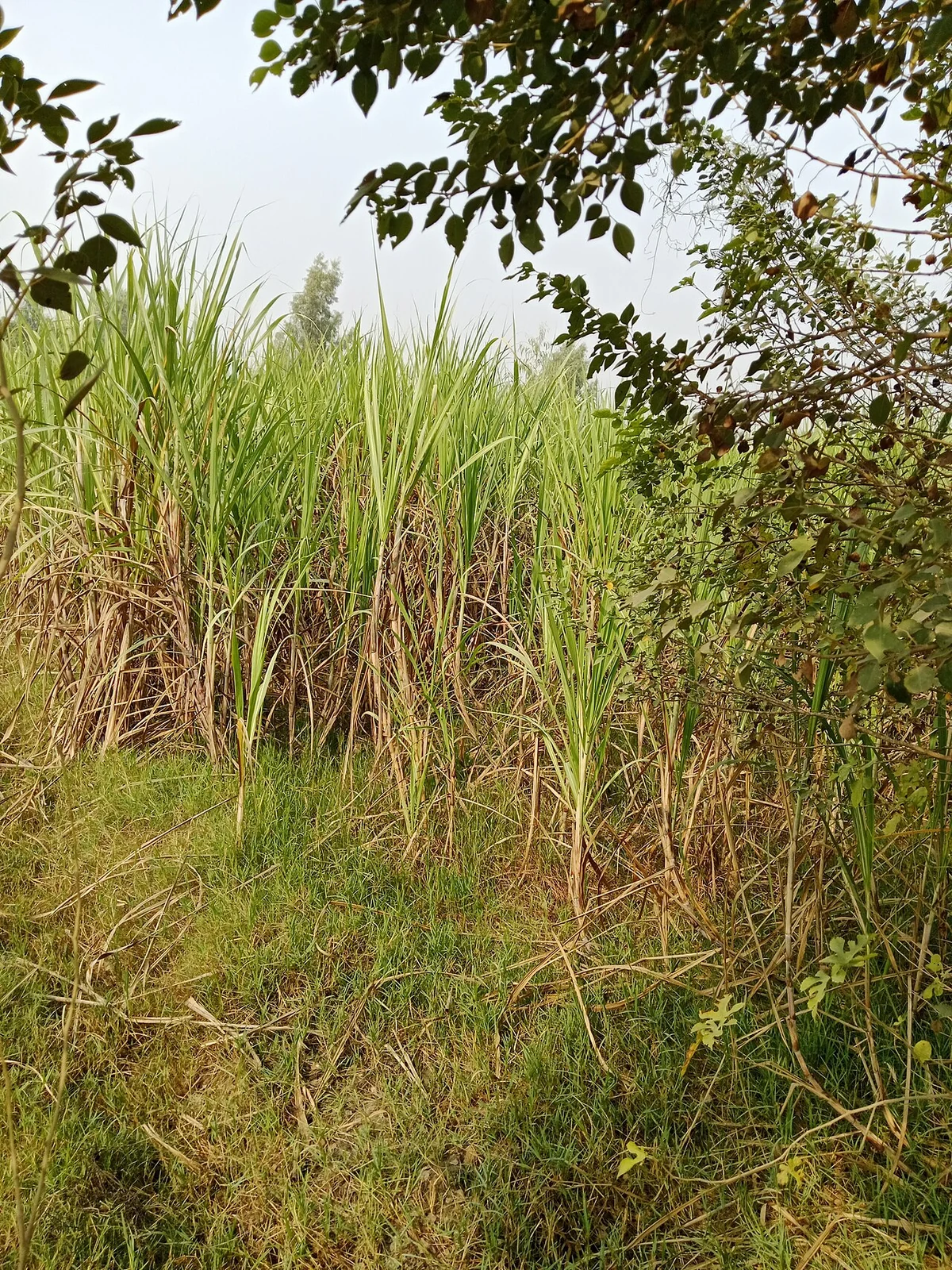
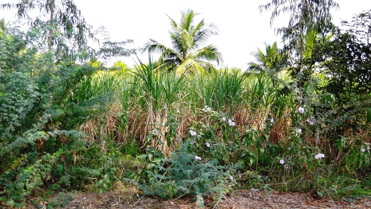
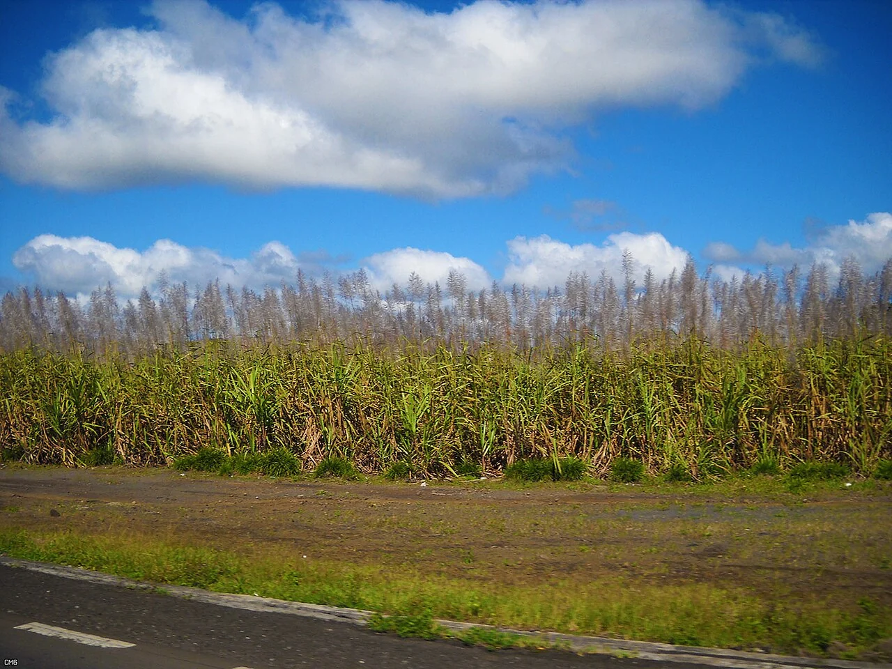
An uneven patch after cutting can justify checking stubble condition, missing stools, water distribution, traffic damage or weeds. Map the patch as a candidate for investigation and walk both the affected and apparently normal sections of the same field. Count or assess stands using a documented sampling unit so the comparison is repeatable. Photograph the ground as well as the canopy, because retained trash or exposed soil can explain part of the overhead appearance.
TNAU's ratoon guidance emphasises timely operations, suitable varieties, crop population, irrigation and crop protection. These are useful categories for a monitoring form, but local recommendations should determine the actual action. A satellite value cannot specify a universal irrigation interval, fertiliser rate or plant-protection treatment. Before proposing an intervention, connect the mapped pattern to the field's soil, water access, crop stage and management history. The same image pattern may require different responses in different fields.
Separate canopy growth from harvest quality
A vigorous canopy is not a direct laboratory measurement of sucrose, recoverable sugar or mill quality. Harvest planning should combine field maturity observations and the relevant quality tests with transport access and mill scheduling. Keep those measured attributes in separate columns from vegetation indicators. If a predictive model is tested, validate it against representative local measurements and hold back independent fields or seasons for evaluation. A good fit to the development data does not establish reliable performance elsewhere.
After heavy rain or a harvest operation, revisit access routes and damaged areas before assuming that a change is a crop-health response. Lodged cane, wheel tracks, recent cutting and waterlogged ground can all complicate the scene. End each monitoring cycle with a short field-specific action record: the question raised, the evidence collected, the responsible person and the next review date. That record helps the team judge whether the monitoring led to a useful decision rather than simply producing another colour map.
Design a field visit that produces comparable observations
Define the sampling unit and the meaning of every response before building the form. Use a short list of clear categories, allow an explicit unknown response, and distinguish a measured value from an observer assessment. Test the questions with the intended field team; a compulsory answer should never force someone to guess information that the visit cannot establish.
Record field identifier, observation date, location, method, and enough photographic context to interpret the observation later. Check device permissions, location quality, battery use, and the actual collection route. If offline collection is expected, test saving, closing, reopening, and synchronising with the intended browser or application. Document which steps depend on connectivity.
Review responses soon after collection while clarification is still possible. Keep the original observation and append a correction with its reason rather than silently replacing the source. Mark incomplete, contradictory, or poorly located records for follow-up. A smaller dataset with consistent definitions can support better analysis than a large collection of records whose sampling and terminology changed between observers.
Read article: Sugarcane water-stress investigation using geospatial data
Keep identifiers, history, and evidence connected
Use a stable identifier for each field or asset and store its descriptive name separately. The identifier should remain useful when a crop changes, staff move, or an operational unit is subdivided. Define relationships explicitly: one field may have many visits, one visit may have several photographs, and one harvest lot may refer to several fields. Document those relationships before combining spreadsheets or map layers.
Changes need an effective date and a reason. Preserve earlier geometry or attribute versions when a correction affects historical reports. Record who approved the change and which source supported it. Correcting a boundary should not silently rewrite the area that was used for a previous season unless the report is intentionally revised and the revision is explained.
Test an export by bringing representative records back into the receiving workflow. Check that identifiers, dates, units, text encoding, coordinate interpretation, and missing values survive. Keep an unaltered source copy and a transformation note. A simple data dictionary and a named owner for each dataset often prevent more errors than an elaborate visual interface without clear responsibilities.
Define the deliverable and approval
Prepare a harvest discussion map and an editable scheduling register that separates field readiness, access readiness, and the operational limits of cutting and transport.
A practical review before sharing the result
Check the observation against its source and make sure the field identifier is correct. Review dates, units, missing values, quality exclusions, and geometry versions. Ask a colleague to reproduce one representative result from the recorded inputs. This small independent check often exposes a misunderstood field code or a processing assumption before it affects an entire report.
Write down the alternative explanations for the mapped pattern and identify what evidence would distinguish them. Keep a measured observation separate from the interpretation and from any treatment or management instruction. A decision should name its responsible reviewer and account for local operating procedures. If the evidence is insufficient, the appropriate output is a targeted inspection rather than a confident claim.
Keep the original result, any reviewed version, and a short change log. State which locations and periods the output can reasonably describe. When sharing a map, provide a clear legend, source dates, and an accessible explanation of uncertainty. The recipient should know whether a feature is a confirmed observation, a candidate awaiting inspection, or a model-based estimate.
Read article: Sugarcane growth-stage mapping through the season
Turn the investigation into a repeatable field cycle
Prepare the visit with a map that can be used at the intended location and a concise list of questions. Confirm access, permissions, equipment, and the availability of a person familiar with the field. Choose representative stops as well as unusual areas. Record where the planned route could not be followed, because missing observations can change how the result should be interpreted.
After the visit, review the observations while the team can still clarify them. Connect photographs, measurements, and comments to the same field and visit identifiers. Assign a follow-up status and preserve unresolved cases. A correction should explain what changed and why; it should not erase the original evidence or make an earlier interpretation appear to have been certain.
At the next suitable observation date, compare conditions using the same definitions and review any management or weather events that occurred between visits. Record the action actually completed and its operational outcome. This creates an evidence trail from an initial pattern to field confirmation and later review, making the mapping process easier to improve over successive seasons.
Connect this work with AgroSensing
Use a connected spatial workflow to organise imagery, commodity records, and geolocated field observations. Discuss the appropriate data, validation, and operating scope with the team.
Sources and further reading
The linked primary references explain the underlying agronomic and geospatial concepts. The field workflows in this guide are editorial recommendations to adapt with the responsible local specialist.