
Agriculture field notes
Practical guides to smart agriculture, crop intelligence, agricultural GIS, satellite monitoring, and field verification.
122 articles · Page 2 of 11
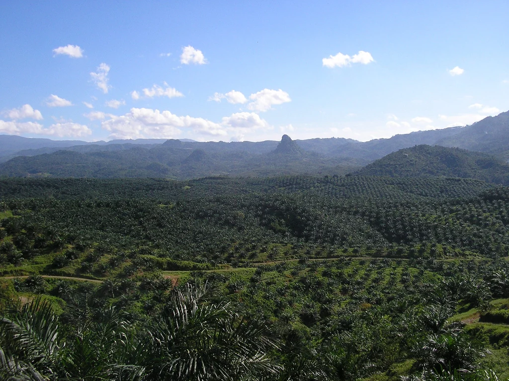
Oil-palm infill planning: distinguish a gap from a planting opportunity
Inspect apparent canopy gaps together with planting age, ground access, drainage, and actual palm condition. Ask whether the space is intentionally open before treating it as a missing plant.
Read article ↗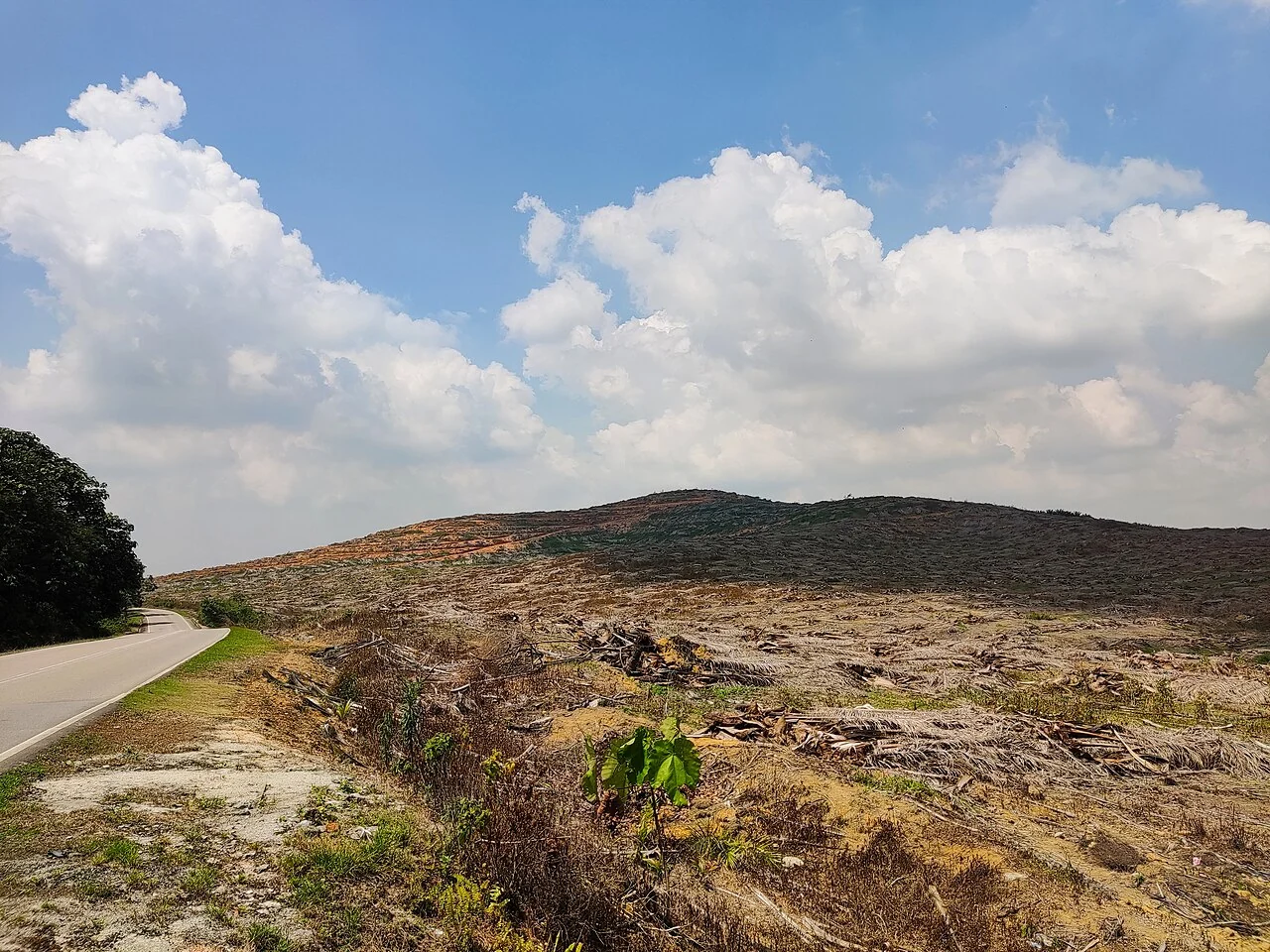
Oil-palm replanting priorities from spatial evidence
Bring planting-year records, stand condition, access, and management constraints into one block-level review. Use imagery to support the assessment of variability instead of replacing the age and production rec
Read article ↗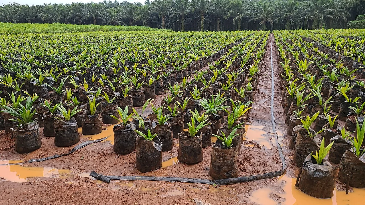
Monitoring young oil palms with drone imagery
Design the survey around the small crowns and exposed ground that characterise immature stands. Check whether individual palms remain distinguishable in both the image and the field sample.
Read article ↗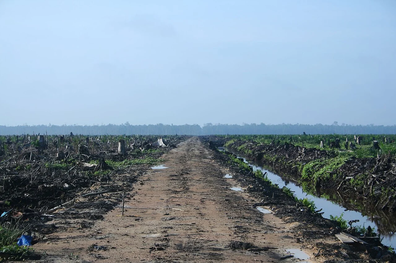
Oil-palm drainage inspections after heavy rainfall
Map field observations of standing water, blocked drains, and access problems beside the rainfall record and recent imagery. Follow the drainage network rather than interpreting isolated wet pixels.
Read article ↗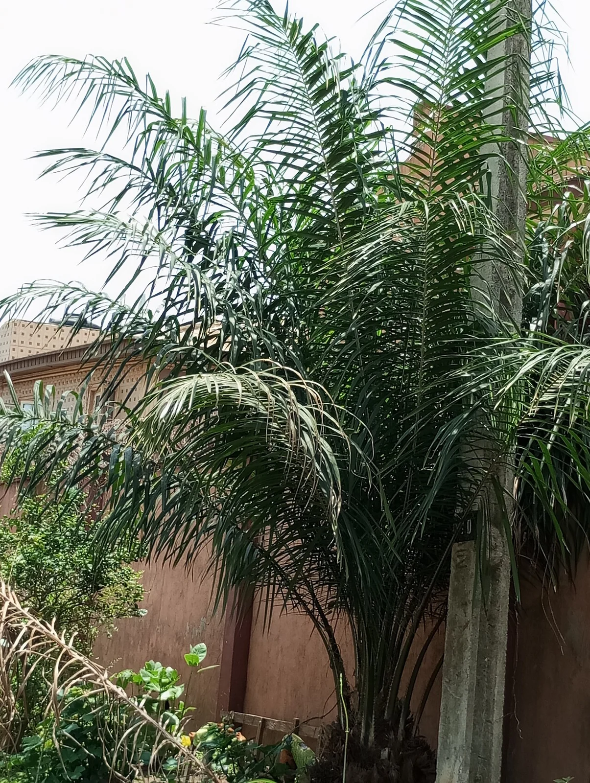
Oil-palm canopy change: investigating unusual patterns
Compare the same planting cohort across several usable dates and inspect both absolute condition and departure from its usual seasonal pattern. Use the result to choose field visits.
Read article ↗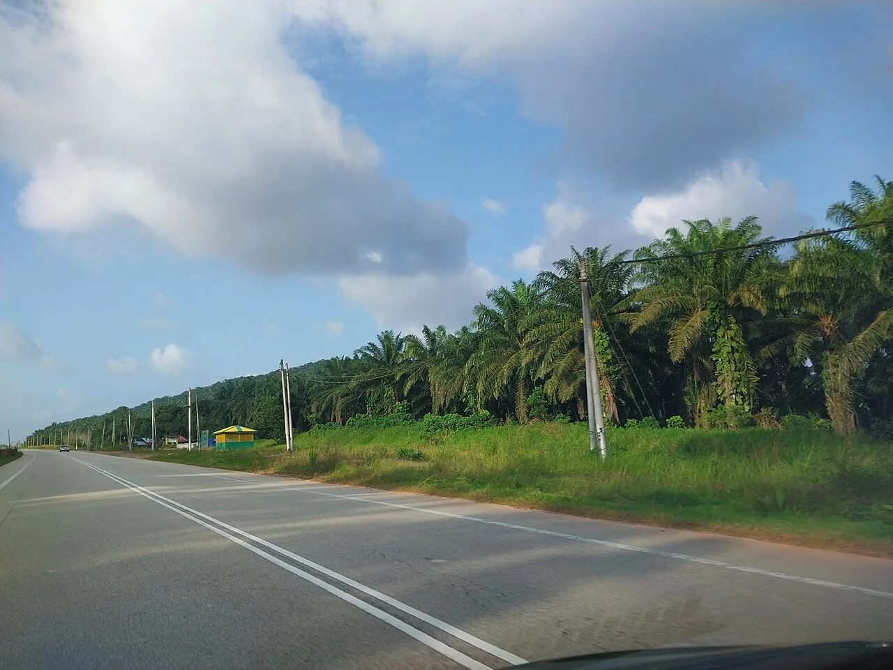
Mapping oil-palm harvest access and collection routes
Connect block entrances, paths, bridges, collection points, and road condition to the actual equipment used by the harvest team. Include seasonal access restrictions reported by operators.
Read article ↗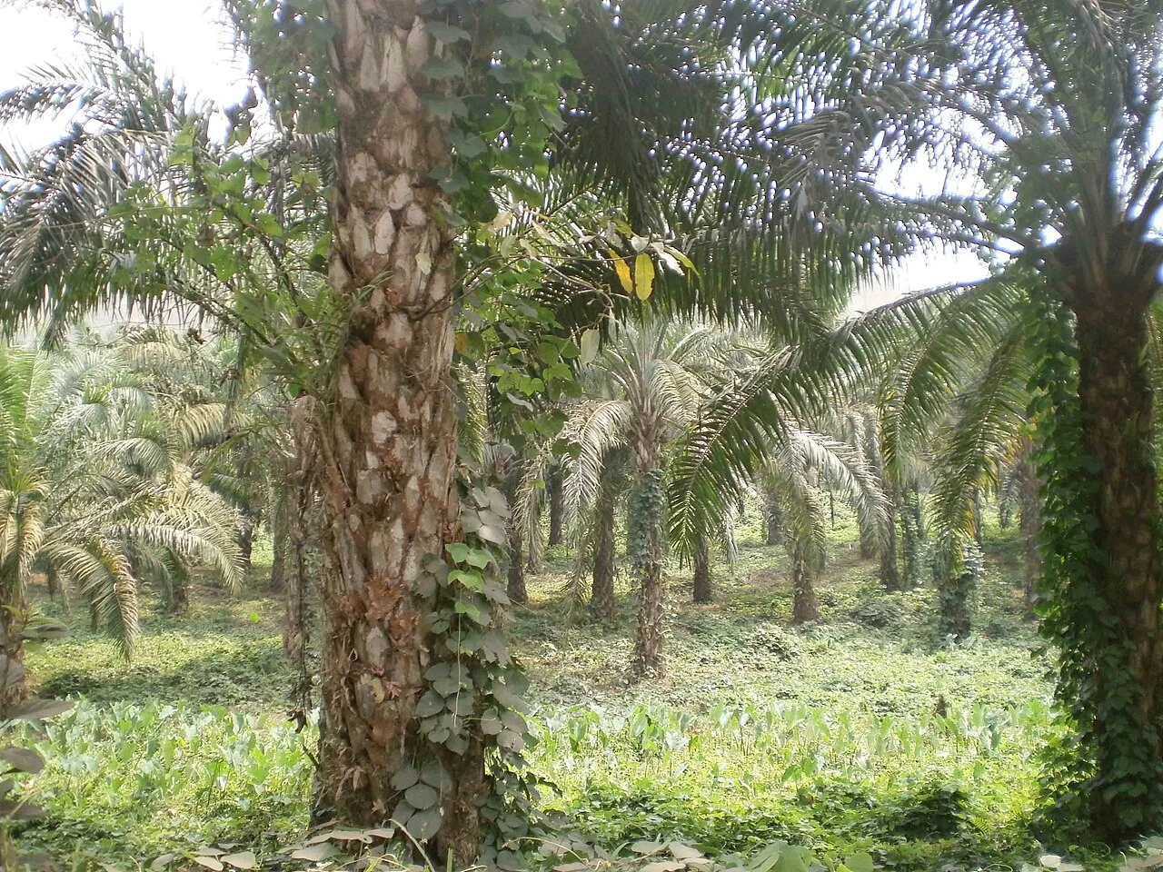
Oil-palm nutrient assessment: imagery and leaf sampling
Use spatial variation to plan a representative sampling visit, then keep tissue analysis, soil analysis, fertiliser history, and image indicators as distinct records connected to the same block.
Read article ↗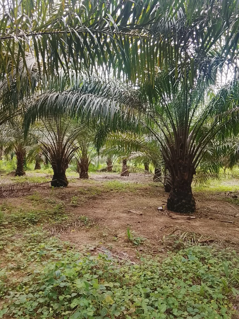
Oil-palm smallholder mapping and traceable farm records
Agree on farmer identifiers, consent, field boundaries, and the purpose of data sharing before collection. Keep uncertain or disputed boundary segments visible during review.
Read article ↗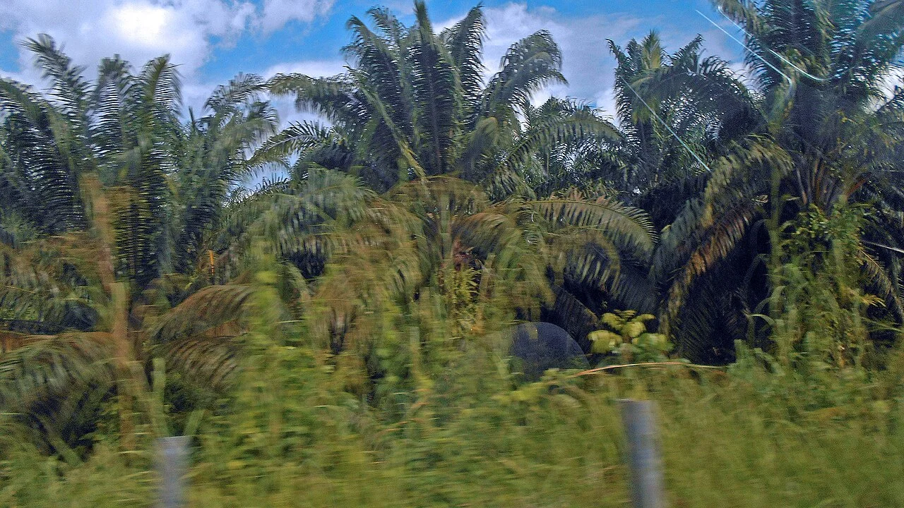
Oil-palm cover crops and bare-ground monitoring
Distinguish canopy, understory, exposed soil, tracks, and shadows when interpreting ground-cover patterns. Sample areas beneath both open and closed canopies if access allows.
Read article ↗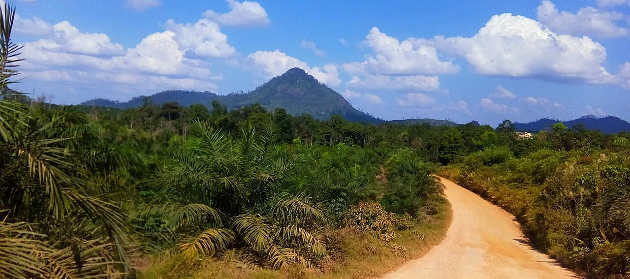
Oil-palm block performance reviews without misleading comparisons
Compare blocks within appropriate age, variety, terrain, and management groups. Show production records separately from imagery and record the period that each measurement represents.
Read article ↗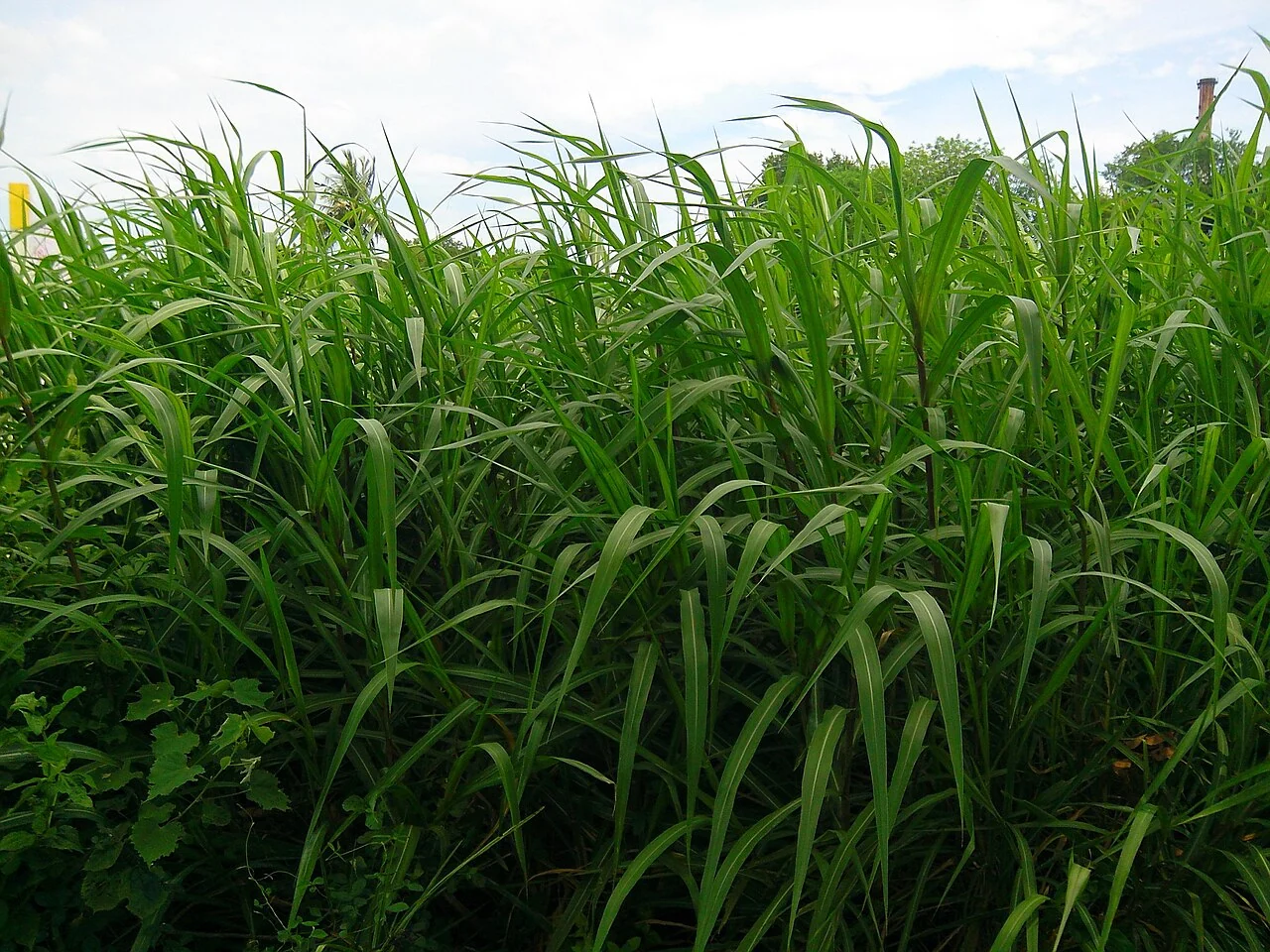
Sugarcane growth-stage mapping through the season
Link image dates to planting or cutting dates and distinguish plant cane from ratoon cycles. Follow the transition from establishment to canopy closure and later maturation within comparable fields.
Read article ↗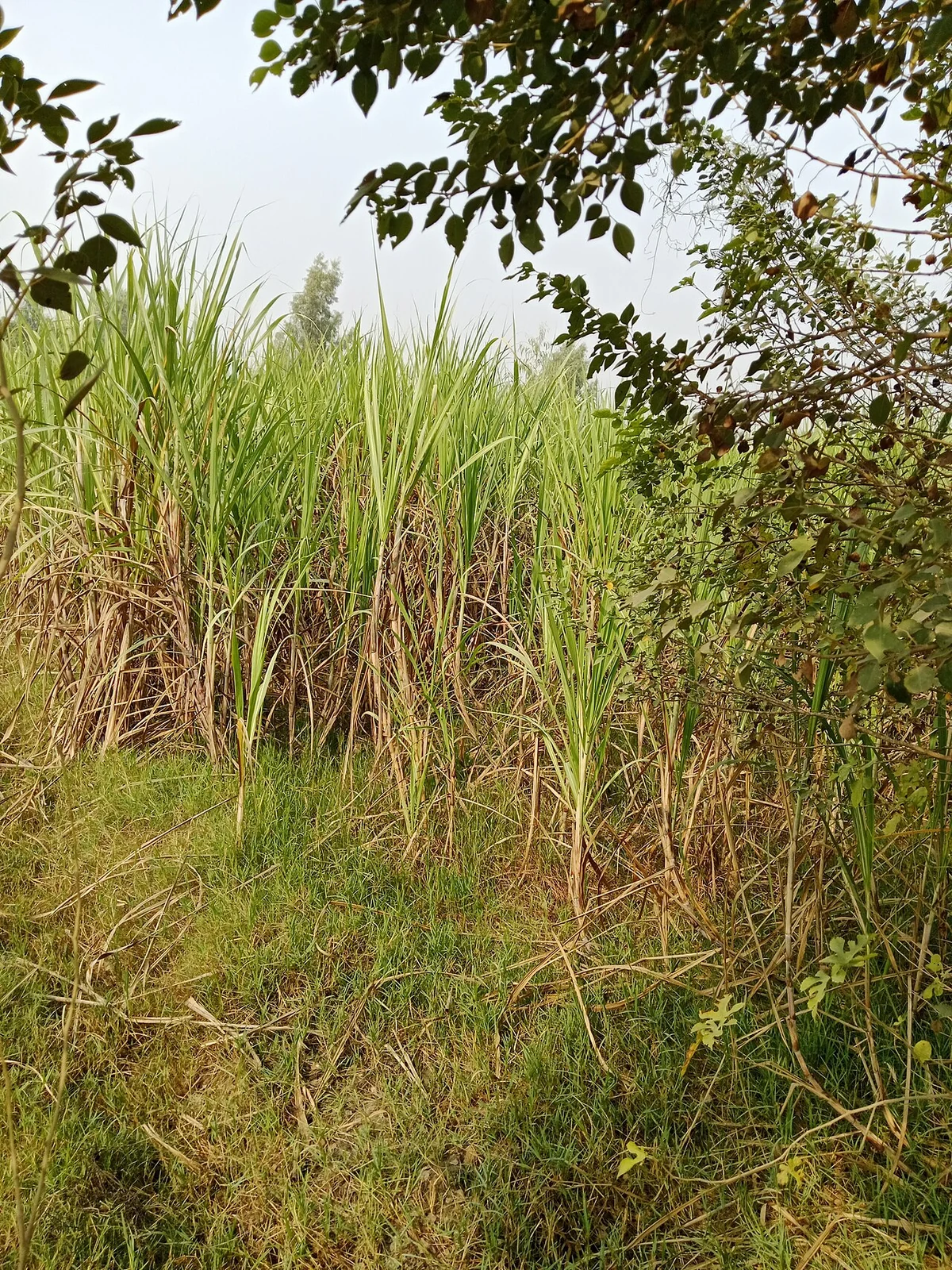
Sugarcane ratoon monitoring with satellite time series
Record the last harvest date and ratoon number before comparing regrowth trajectories. Inspect whether poor establishment follows the cutting pattern, traffic lanes, or water distribution.
Read article ↗See your land from a more connected perspective.
Choose a commodity and explore the AgroSensing workspace.