
Agriculture field notes
Practical guides to smart agriculture, crop intelligence, agricultural GIS, satellite monitoring, and field verification.
122 articles · Page 5 of 11
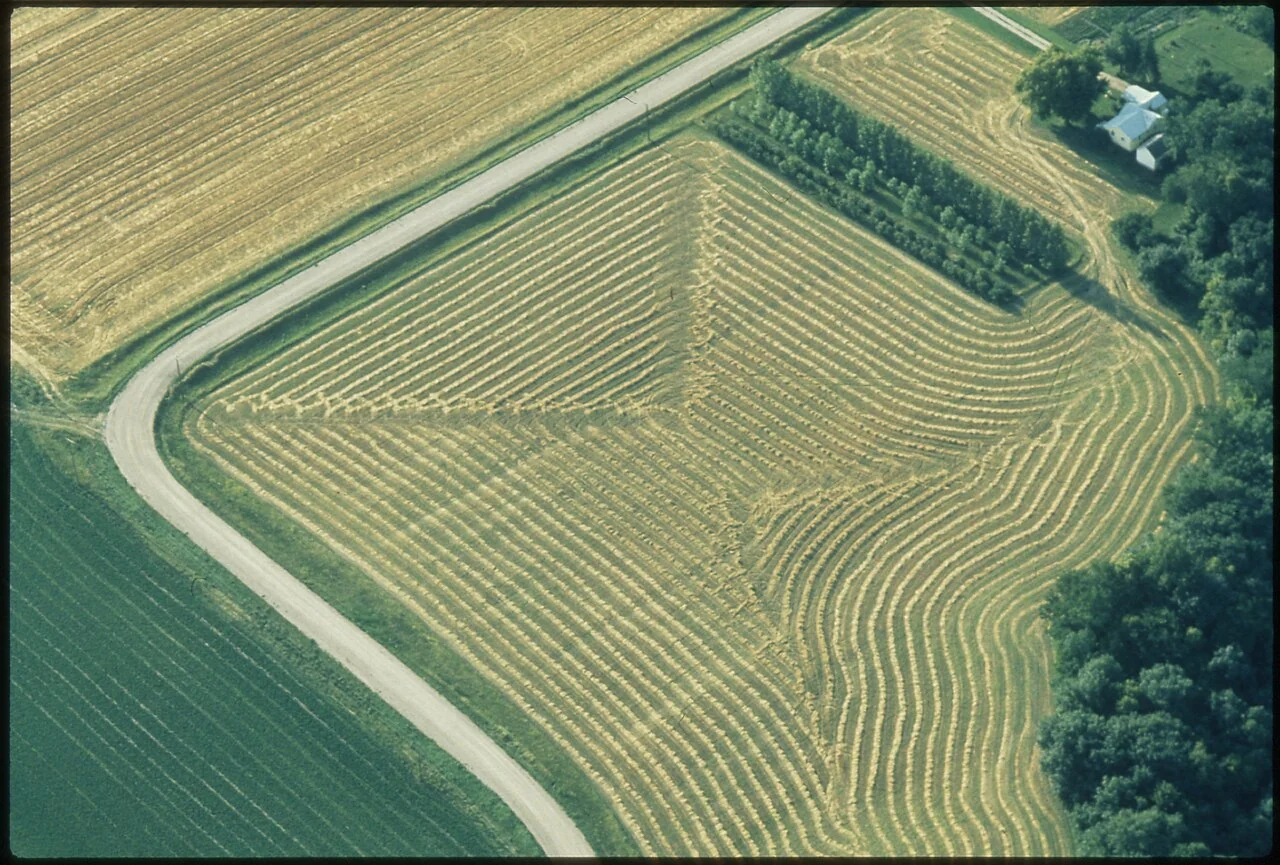
Plantation GIS: designing block and sub-block identifiers
Choose identifiers that survive crop changes, subdivisions, and staff turnover. Record parent-child relationships when an operational block is split or merged.
Read article ↗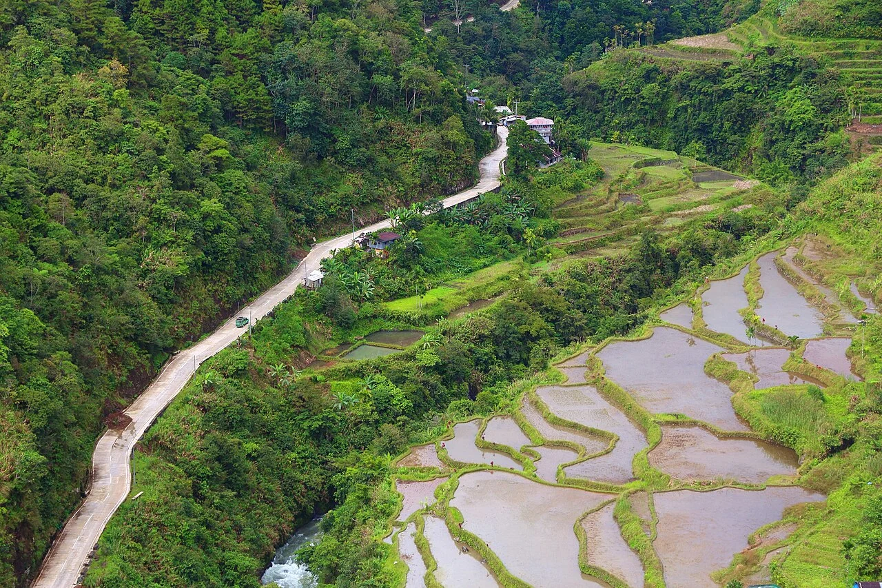
Plantation road-condition surveys and maintenance maps
Use a repeatable road-segment structure and record surface condition, drainage, restrictions, and photographs. Distinguish a passable road from one suitable for the intended vehicle and load.
Read article ↗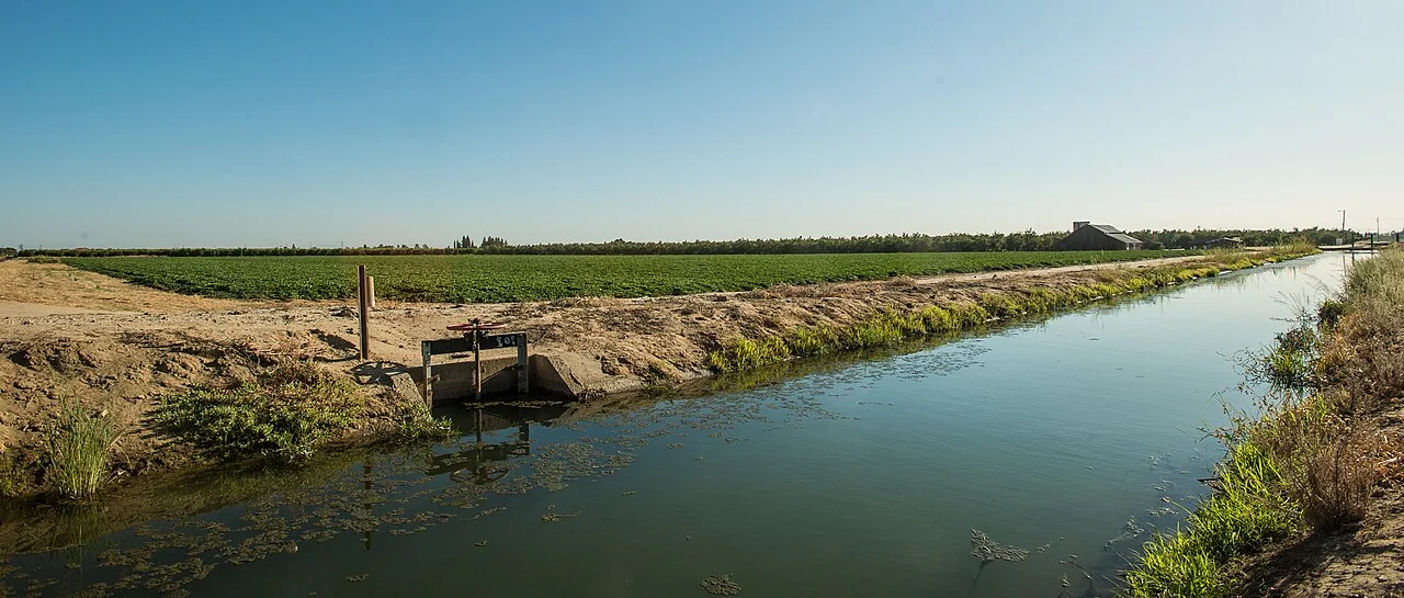
Agricultural drainage networks: connecting lines to observations
Represent drains as a connected network with direction where it is known, and link blockages and water observations to specific segments. Flag connections that have not been checked.
Read article ↗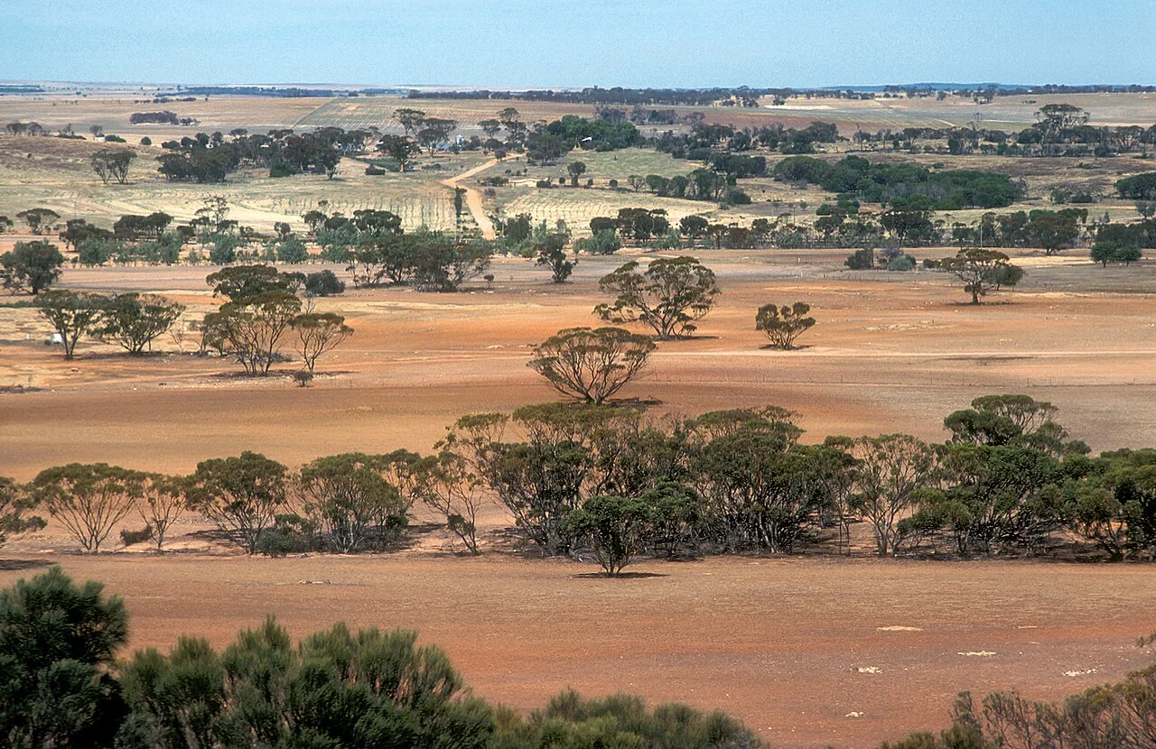
Comparing plantation compartments fairly
Choose comparison groups using crop age, soil, terrain, management history, and data completeness. Show distributions and context rather than only a single estate-wide average.
Read article ↗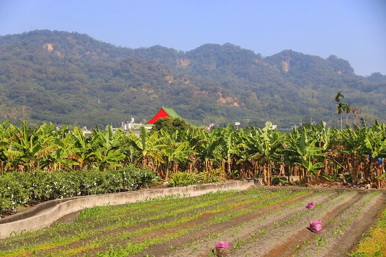
Agricultural land-cover change detection with field verification
Define the classes and minimum change unit before analysis. Compare usable dates, inspect candidate transitions, and record whether the change is temporary management or a lasting land-cover transition.
Read article ↗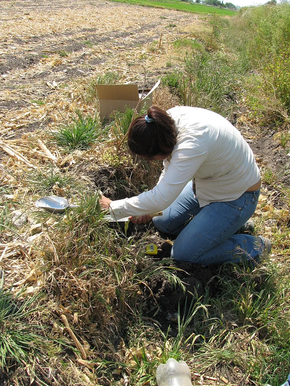
Plantation survey sampling: reach beyond convenient roads
Design visits to cover the conditions that matter, including difficult access, different crop ages, and contrasting image patterns. Record where a planned observation could not be collected.
Read article ↗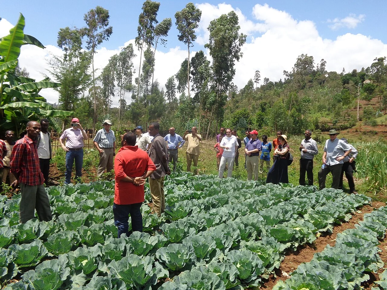
Managing agricultural geospatial data across teams
Assign responsibility for boundaries, crop records, imagery, and survey corrections. Establish a review process so that staff know which version is approved for an operational report.
Read article ↗
Agricultural estate reports for management review
Organise a report around decisions taken, unresolved observations, and the next inspection cycle. Make it possible to trace every important statement back to a dated source.
Read article ↗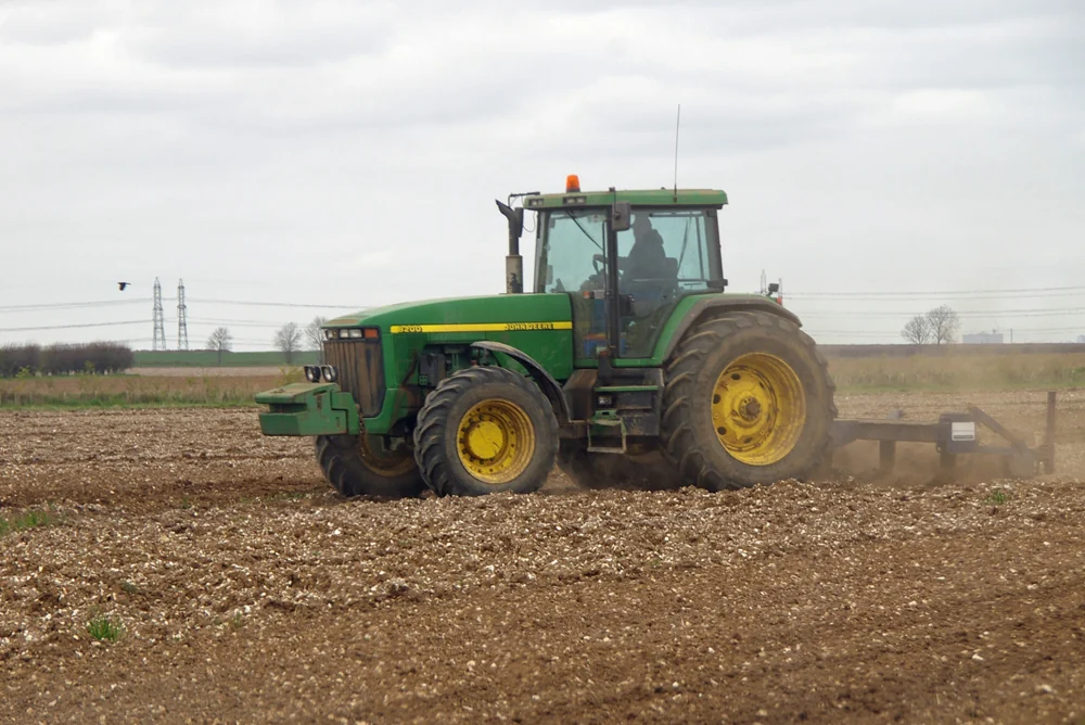
Selecting a farm-mapping service and writing the brief
Describe the required outputs, coordinate reference system, coverage, dates, validation expectations, and handover formats before comparing suppliers. Include ownership and maintenance of the resulting data.
Read article ↗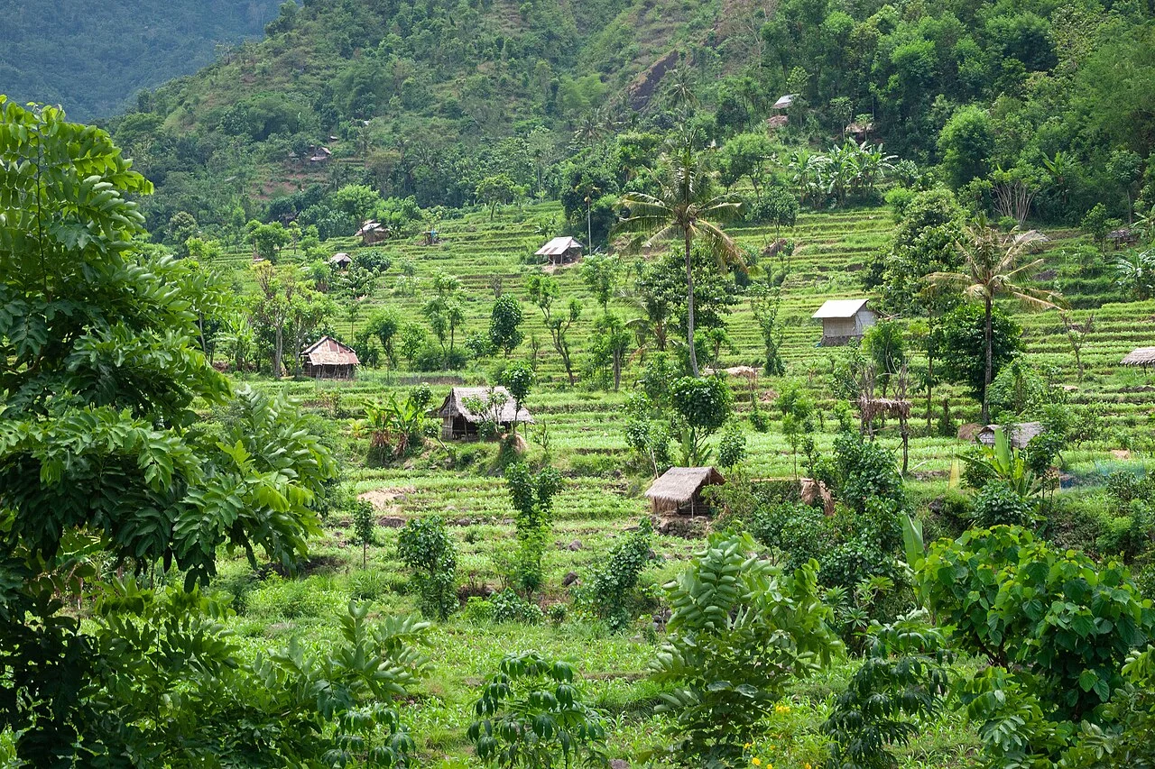
Read a crop indicator before making a prediction
Explain which spectral bands and formula produced the indicator, then inspect how soil, canopy structure, cloud, and management affect the result. Link interpretation to the crop and acquisition date.
Read article ↗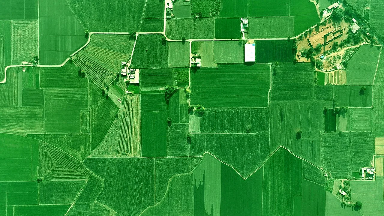
Sentinel-2 imagery for agricultural monitoring
Match the spectral bands and their native resolution to the question, and inspect atmospheric correction, cloud masking, and the field's usable interior area before extracting statistics.
Read article ↗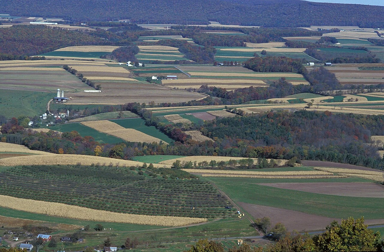
Landsat archives for long-term agricultural change
Define a consistent historical question and review how sensors, processing, land use, and field boundaries changed during the record. Use comparable seasonal windows when possible.
Read article ↗See your land from a more connected perspective.
Choose a commodity and explore the AgroSensing workspace.