
Agriculture field notes
Practical guides to smart agriculture, crop intelligence, agricultural GIS, satellite monitoring, and field verification.
122 articles · Page 10 of 11
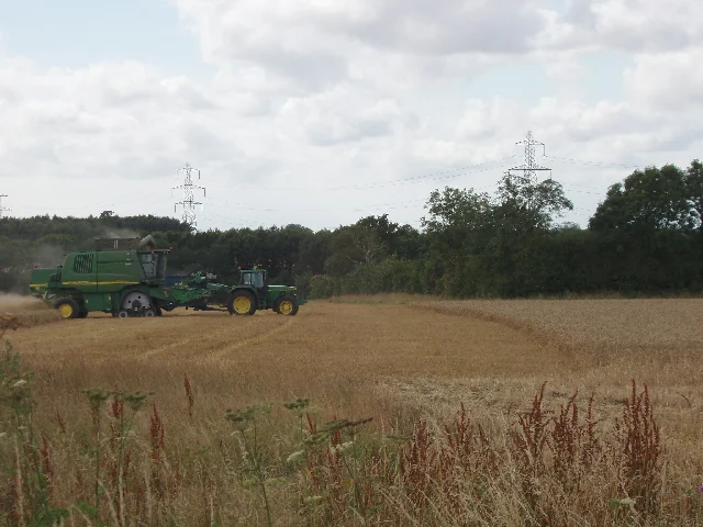
Wheat harvest-loss sampling and spatial records
Use an agreed sampling protocol to record where, when, and how losses were observed relative to harvesting operations. Preserve the area, units, crop condition, and machinery context for each sample.
Read article ↗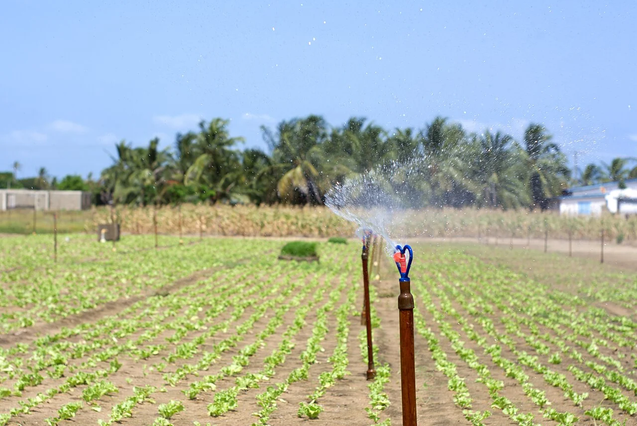
Irrigation uniformity: organise measurements across the system
Plan measurements that represent the actual irrigation layout, operating conditions, and crop area. Record instrument methods, time, pressure or flow observations where relevant, and interruptions during the te
Read article ↗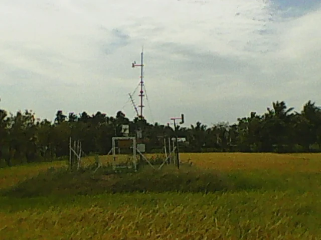
Farm weather stations: siting, maintenance, and map context
Record the station location, surrounding land cover, exposure, sensor heights where relevant, and maintenance history. Ask whether the observation represents the fields and decisions for which it will be used.
Read article ↗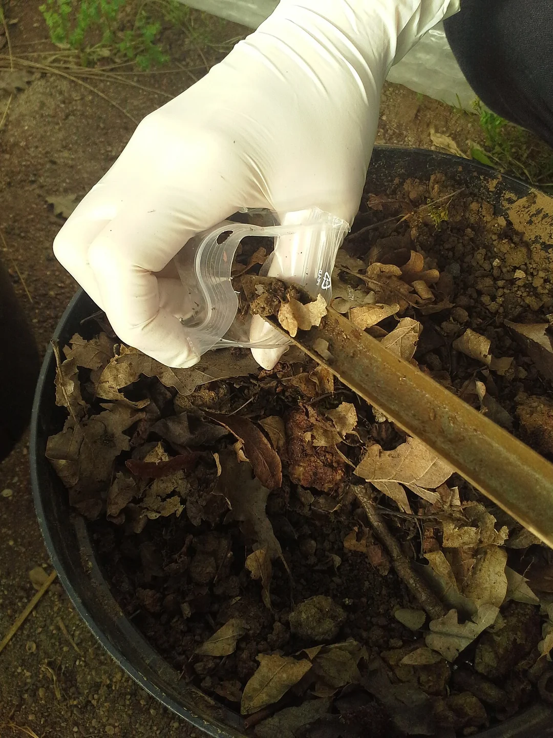
Soil salinity investigation: combine conductivity samples and GIS
Record the electrical-conductivity method, sampling depth, soil moisture context, temperature treatment where relevant, and laboratory reference. Use mapping to represent the locations and support of those obse
Read article ↗
Fruit-orchard inventories: trees, planting positions, and blocks
Define whether the inventory counts trees, visible crowns, planting positions, or production units. Connect mapped candidates with variety, planting-year, replacement, and management records when those are avai
Read article ↗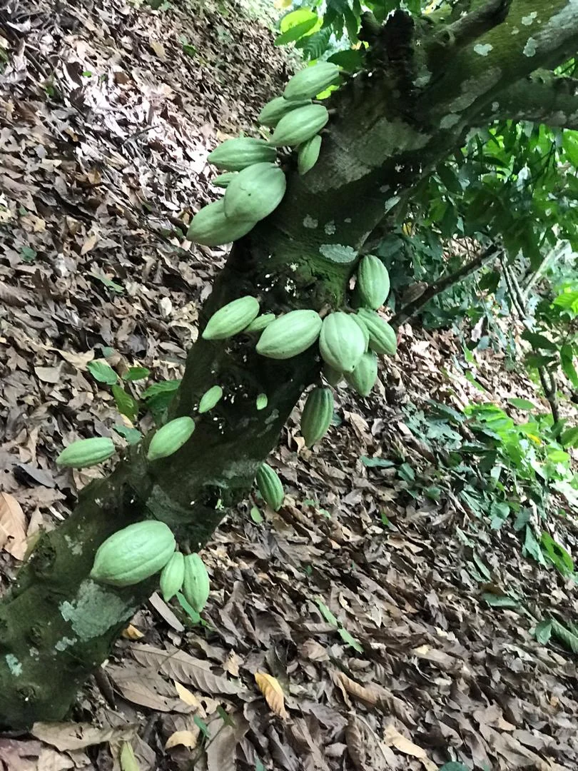
Cacao agroforestry maps: separate crop, shade, and farm records
Identify which layer describes cacao plants, upper shade trees, access, and farm boundaries. Connect the map with field observations of management and canopy structure rather than treating all overhead greennes
Read article ↗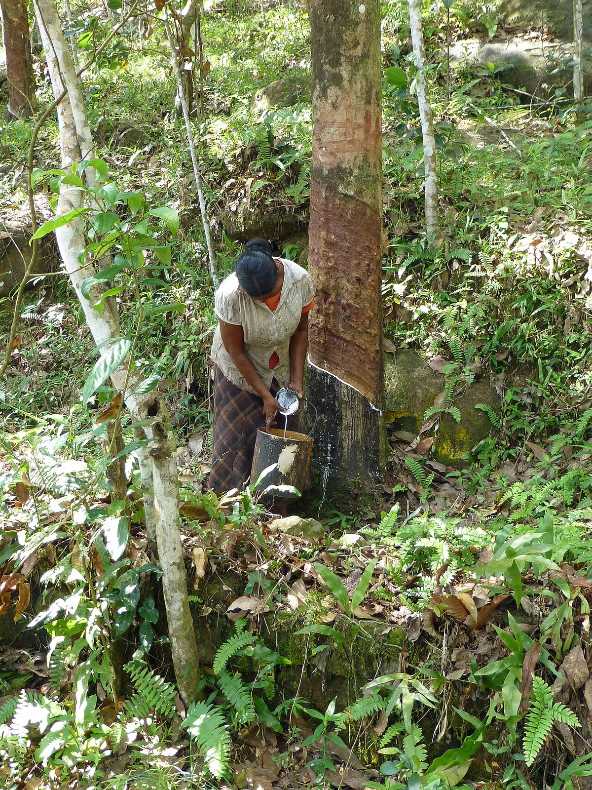
Rubber plantation leaf-fall cycles in satellite time series
Use local field observations and management records to annotate canopy changes in rubber stands. Compare similar planting cohorts and examine whether the pattern repeats over appropriate seasonal windows.
Read article ↗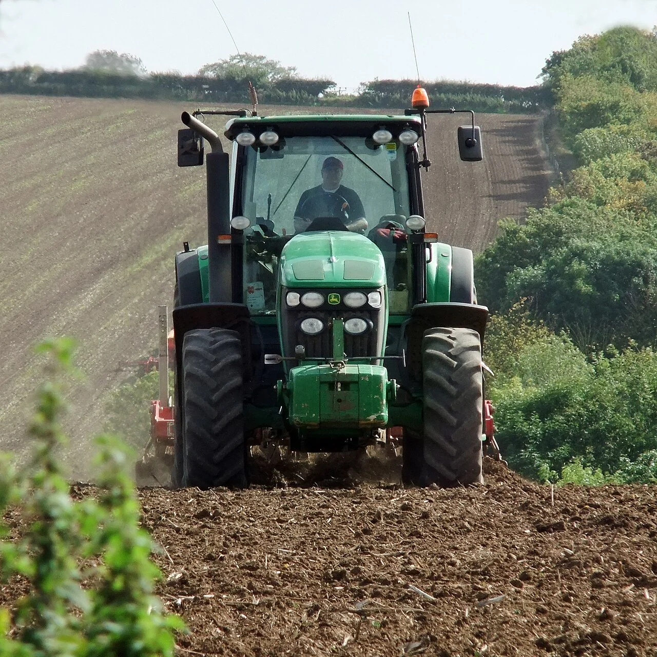
Variable-rate application maps: checks before field use
Connect candidate management zones to the intended equipment, agronomic recommendation, field boundary, units, and approval process. Test a representative export in the receiving equipment workflow before any a
Read article ↗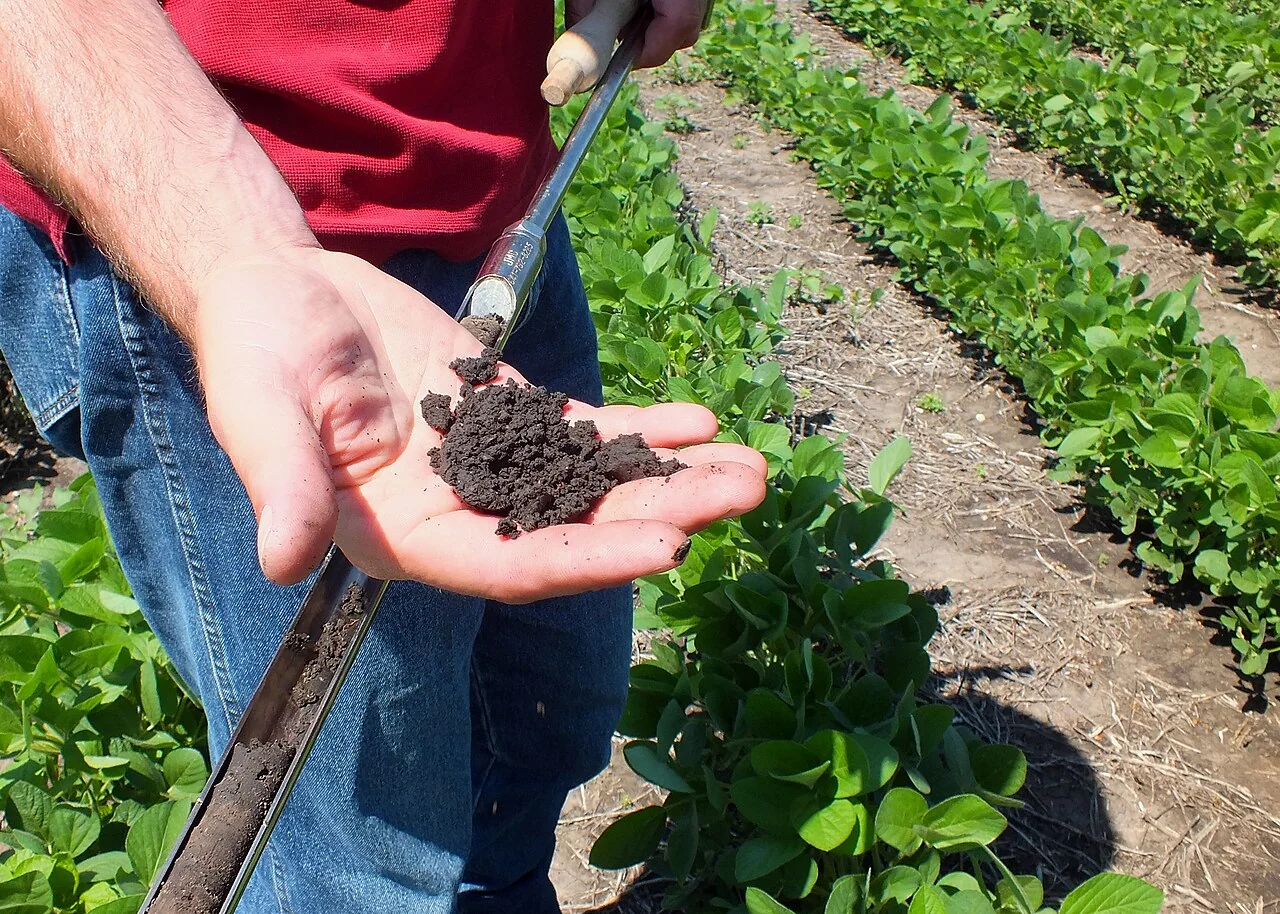
Spatial nutrient budgets: connect inputs, outputs, and uncertainty
Define the field, period, area, and nutrient units before combining application, laboratory, harvest, and management records. Distinguish measured values from standard coefficients and assumptions.
Read article ↗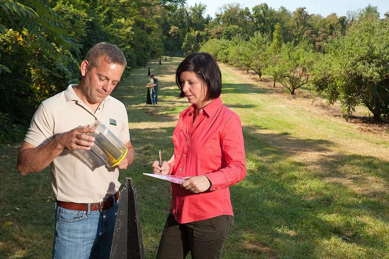
Integrated pest-management observations and hotspot maps
Agree on pest or symptom definitions, sampling units, observation intervals, and the referral procedure with the crop specialist. Record ordinary and apparently affected locations so the map has a meaningful co
Read article ↗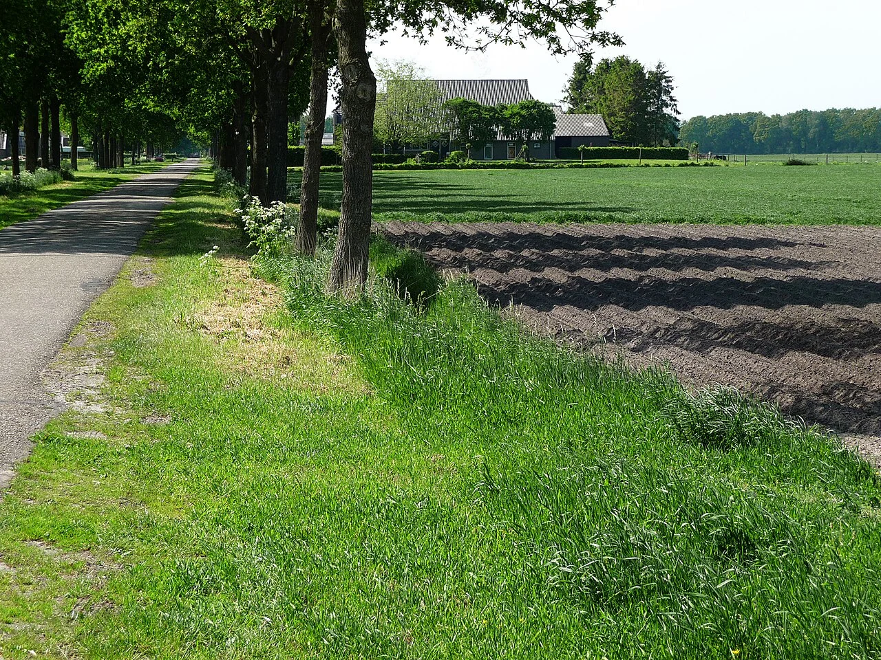
Beneficial-insect habitat mapping around agricultural fields
Map field margins, flowering vegetation, water features, hedges, and other habitat structures according to the local observation objective. Link the structures with appropriately timed field observations.
Read article ↗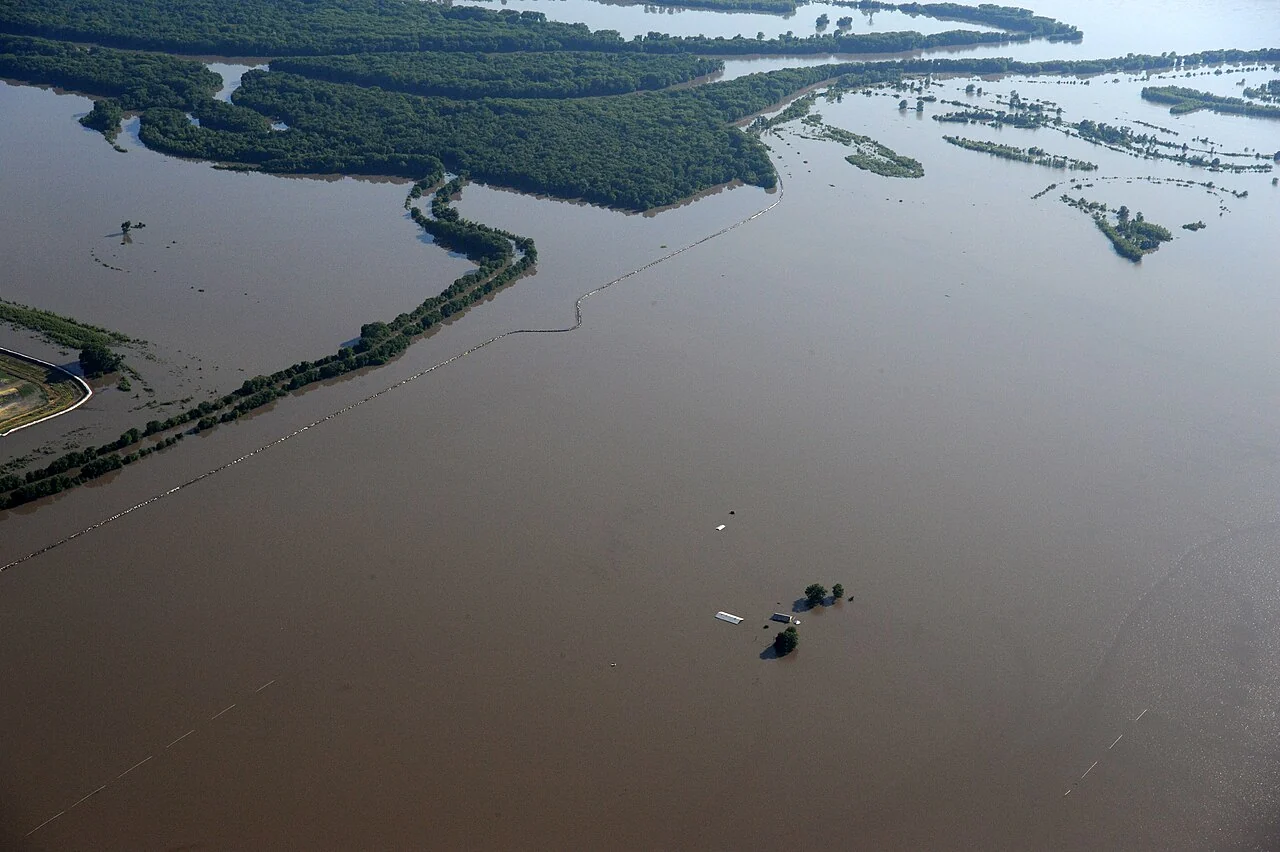
Agricultural storm documentation: keep a reliable event record
Record the event dates, field boundaries, observation methods, original photographs, and known management conditions. Keep unaltered source records and distinguish the observer's description from a later interp
Read article ↗See your land from a more connected perspective.
Choose a commodity and explore the AgroSensing workspace.