
Agriculture field notes
Practical guides to smart agriculture, crop intelligence, agricultural GIS, satellite monitoring, and field verification.
122 articles · Page 8 of 11
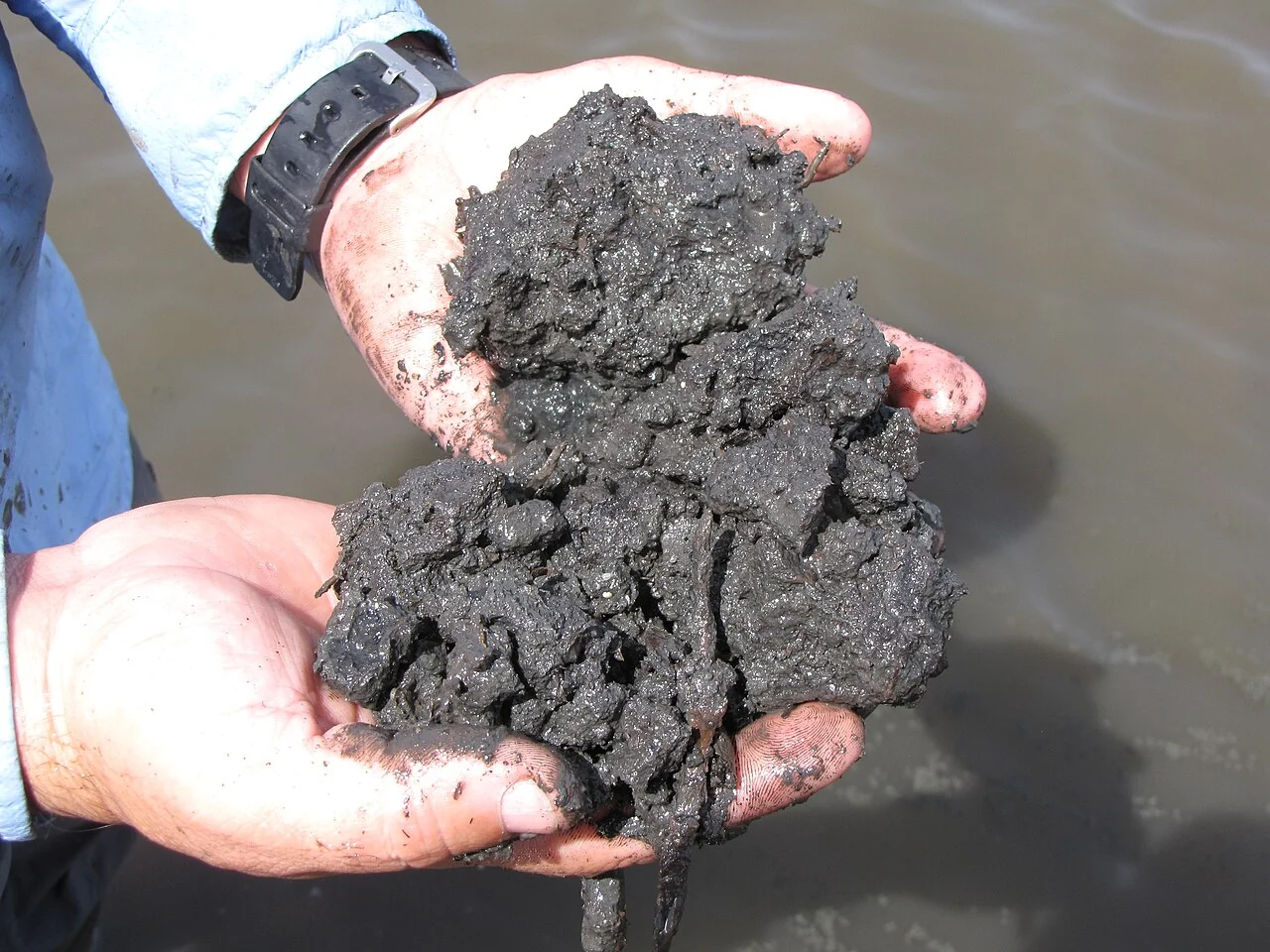
Agricultural soil carbon: what a map can and cannot establish
Begin with an explicit soil-sampling protocol, depth, laboratory method, and land-management history. Use spatial information to stratify sampling and record where the reference measurements originate.
Read article ↗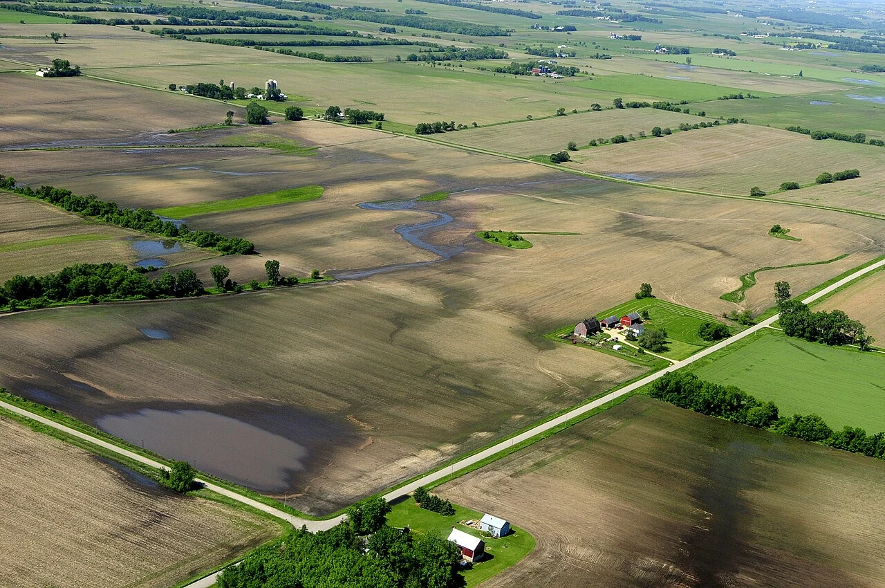
Climate-resilient farm planning with geospatial evidence
Map exposure and operational constraints alongside locally relevant weather and field records. Discuss several plausible scenarios instead of treating a single map as a forecast.
Read article ↗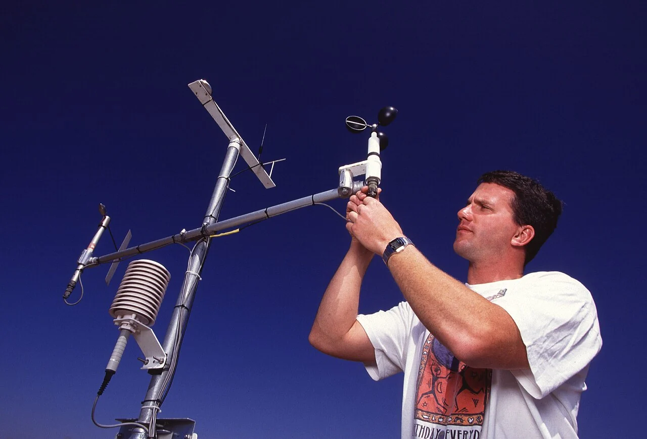
Scaling agricultural GeoAI from a pilot to routine operations
Evaluate the complete workflow, including new imagery, field references, model drift, review capacity, and the handling of uncertain cases. Test on fields and seasons excluded from development.
Read article ↗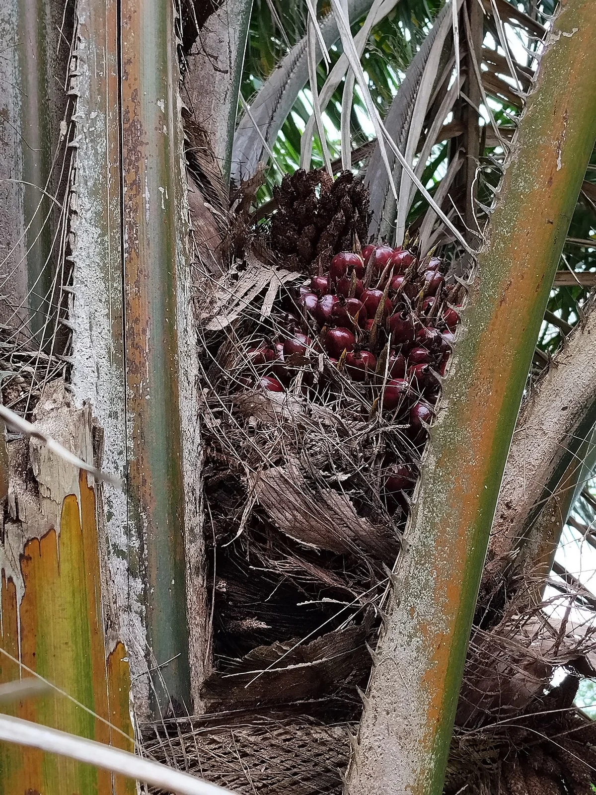
Oil-palm bunch censuses: linking field counts to plantation maps
Define the observation unit before a bunch census: a palm, a sampled row, a management block, or a harvest interval. Record the counting date and the development category used by the field team.
Read article ↗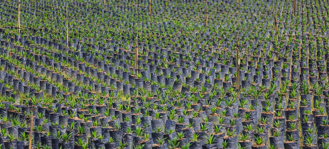
Oil-palm nursery-to-field tracking with spatial identifiers
Connect nursery batches, dispatch records, planting positions, and later field checks through stable identifiers. Record a replacement as an event rather than silently changing the identity of the original plan
Read article ↗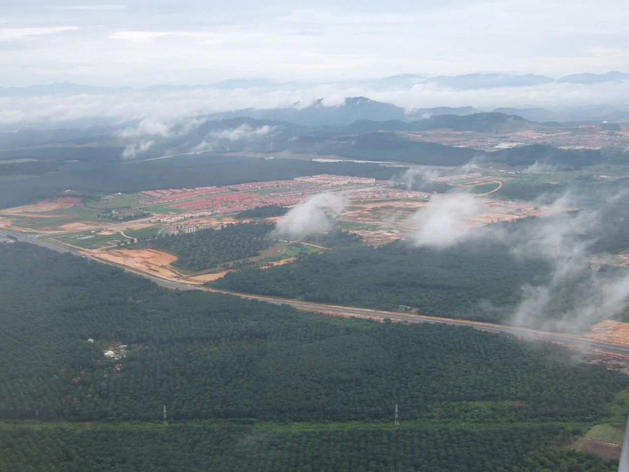
Oil-palm harvested-area reconciliation for block reports
Agree whether the reported denominator is total block area, planted area, mature area, or the area visited during a harvest round. Reconcile it with the dated field register before calculating any per-area indi
Read article ↗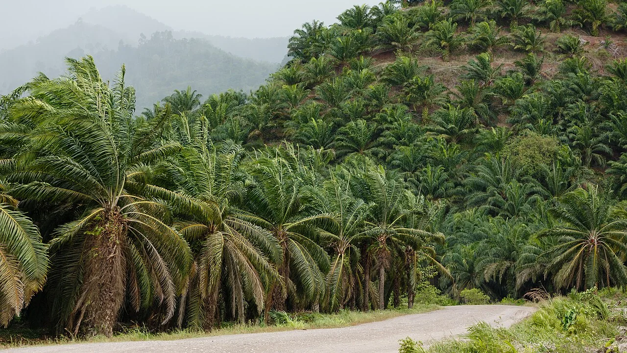
Oil-palm disease-scouting routes and evidence quality
Plan a repeatable inspection route across both suspected and apparently unaffected parts of the stand. Use the symptom definitions and referral procedure agreed with the responsible crop specialist.
Read article ↗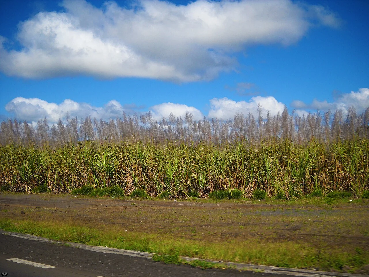
Sugarcane maturity assessment: combine field tests and maps
Record the sampling procedure, crop age, variety, location, and date for the maturity measurements used by the agronomy and mill teams. Connect each result to its actual harvest unit.
Read article ↗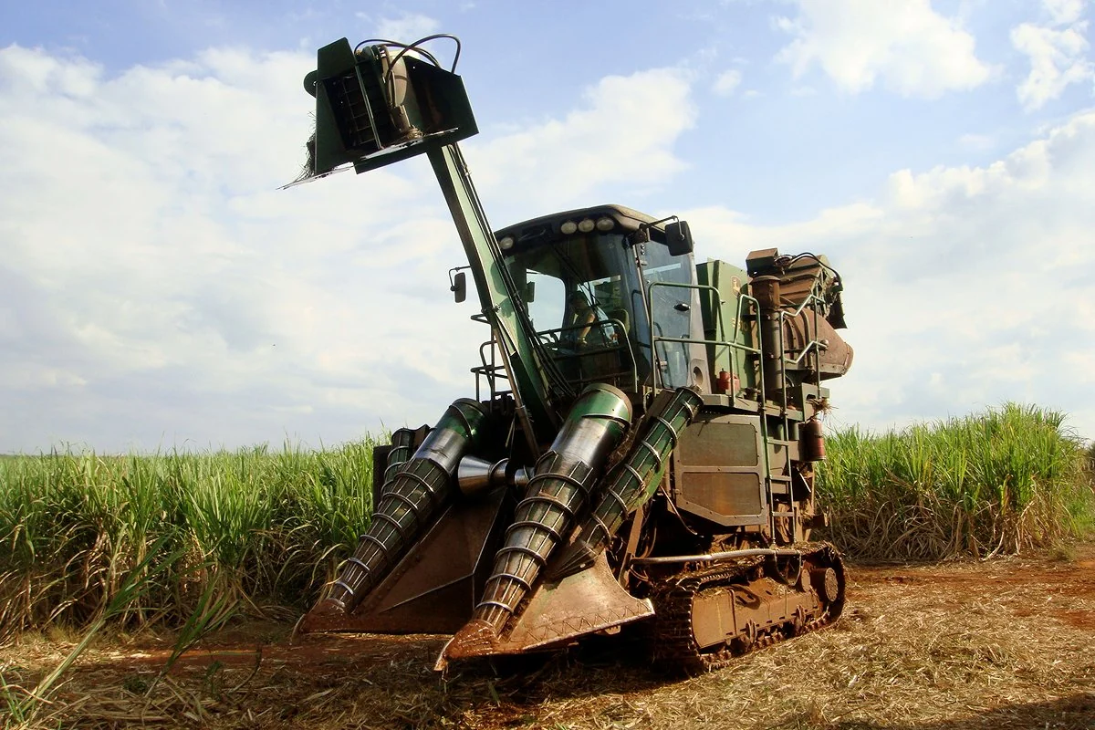
Sugarcane machinery traffic and compaction investigation
Overlay known wheel routes, harvesting conditions, soil observations, and regrowth patterns to identify where compaction deserves investigation. Include locations without obvious symptoms for comparison.
Read article ↗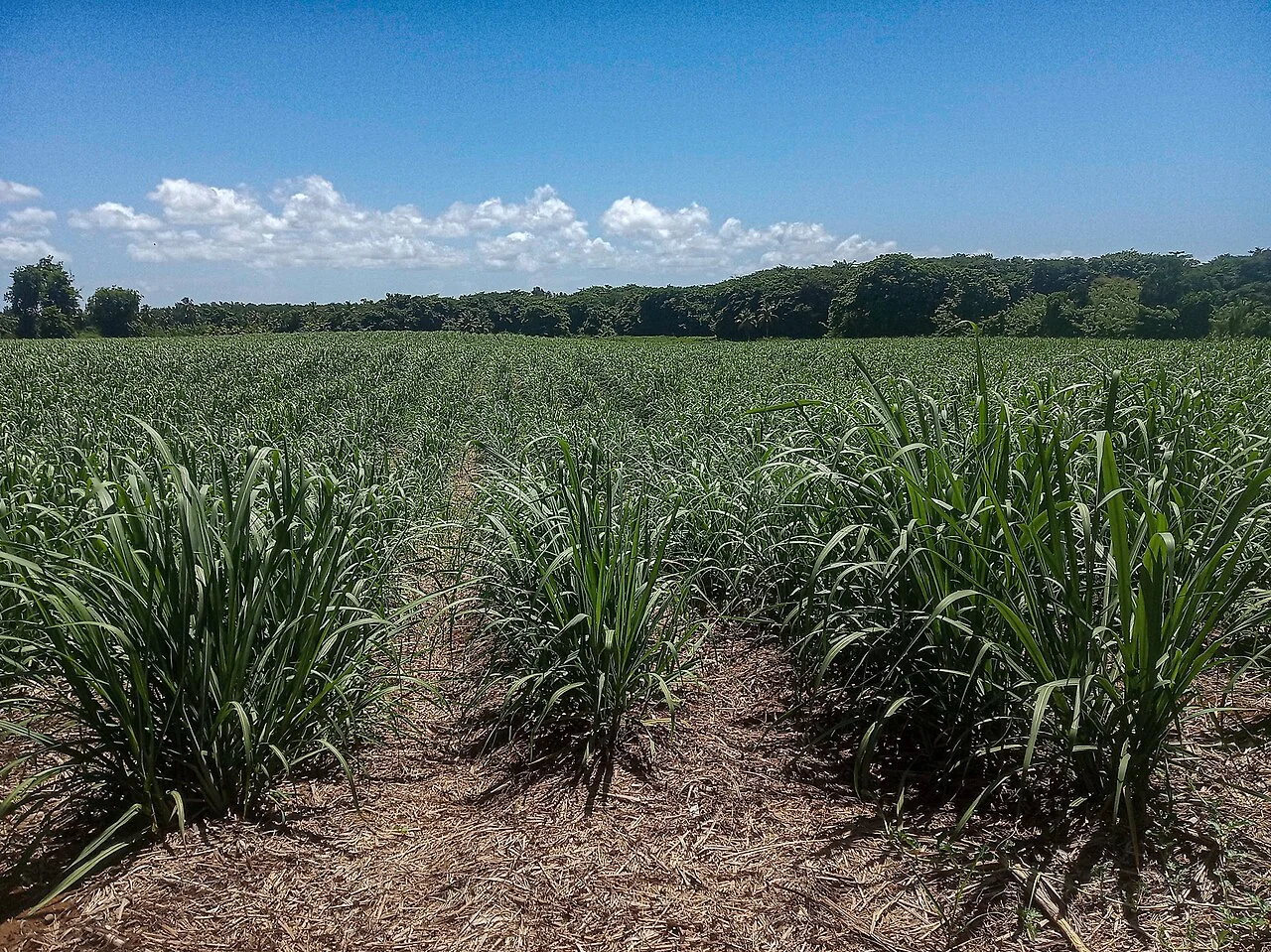
Sugarcane variety trials: preserve plot identity in GIS
Give every trial plot a stable identifier and retain the randomisation or experimental layout, planting records, treatments, and sampling dates. Keep trial plots distinct from ordinary estate blocks.
Read article ↗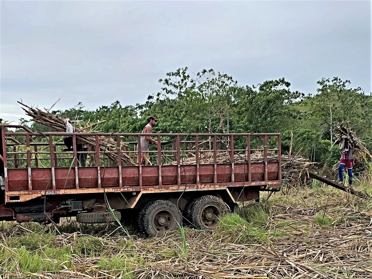
Plant cane and ratoon budgets: organise comparable evidence
Keep establishment, maintenance, harvesting, and transport costs tied to a defined crop cycle and area. Separate recorded expenditure from assumptions about later work or expected output.
Read article ↗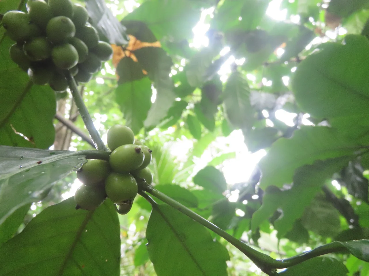
Coffee cultivar mapping and farm-record corrections
Connect cultivar records to mapped farms and planting groups, including mixed or uncertain areas. Record whether an identification comes from a planting record, a grower report, or a qualified field inspection.
Read article ↗See your land from a more connected perspective.
Choose a commodity and explore the AgroSensing workspace.